


This is an archived article that was published on sltrib.com in 2016, and information in the article may be outdated. It is provided only for personal research purposes and may not be reprinted.
Directions • From the town of Duchesne, drive north on State Route 87 and follow it for 23 miles. The road will wind. Turn north again on 2100 West, which may also be labeled Forest Service Road 119. Follow the signs another 19 miles to the Swift Creek Campground. The trailhead is in the campground, at GPS coordinates 40.601308, -110.347714.
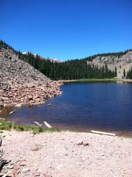
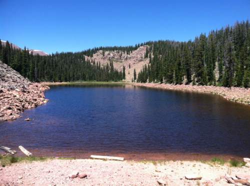
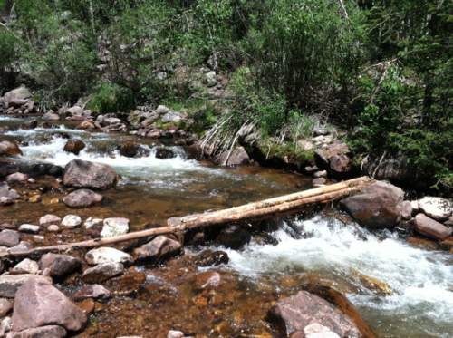
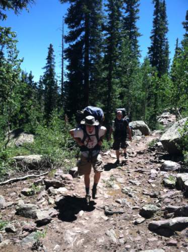
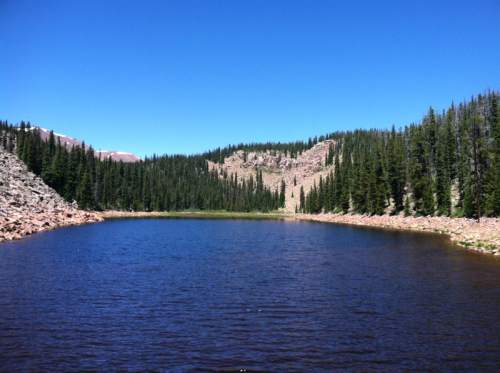
Hike • A lot of people backpack through the High Uintas Wilderness Area and the Ashley National Forest, but the trail to Deer Lake offers a great day hike there. From the trailhead, follow the sign to the Swift Creek Trail. In about a quarter mile, you will come to a fork. Take the right fork toward Swift Creek. You ascend a series of switchbacks. At 1.2 miles, you reach ridge with a view of Yellowstone Canyon to the east. At 3.15 miles, the trail joins Swift Creek. At 3.7 miles, you cross the creek for the first of several times. Continue ascending and, at about 6 miles, the trail reaches Deer Lake.
For an online map and elevation profile, go to: http://www.trimbleoutdoors.com/ViewTrip/3256802
— Nate Carlisle
DestinationDeer Lake
Hiking time6.5 hours
Round-trip miles12 miles
Elevation gain2,316 feet
DifficultyDifficult
Trailhead restroomsYes
Dogs allowedYes
Bikes allowedNo
FeesNo