


This is an archived article that was published on sltrib.com in 2012, and information in the article may be outdated. It is provided only for personal research purposes and may not be reprinted.
It's free. It's detailed. And it's available now.
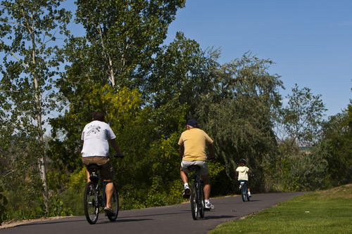
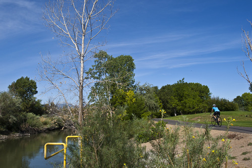
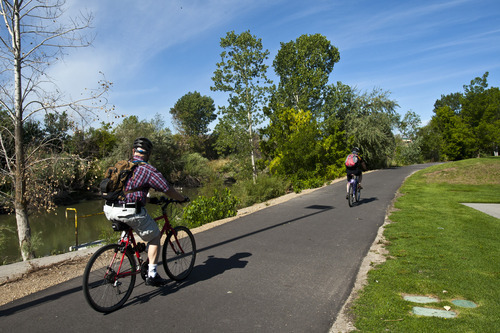
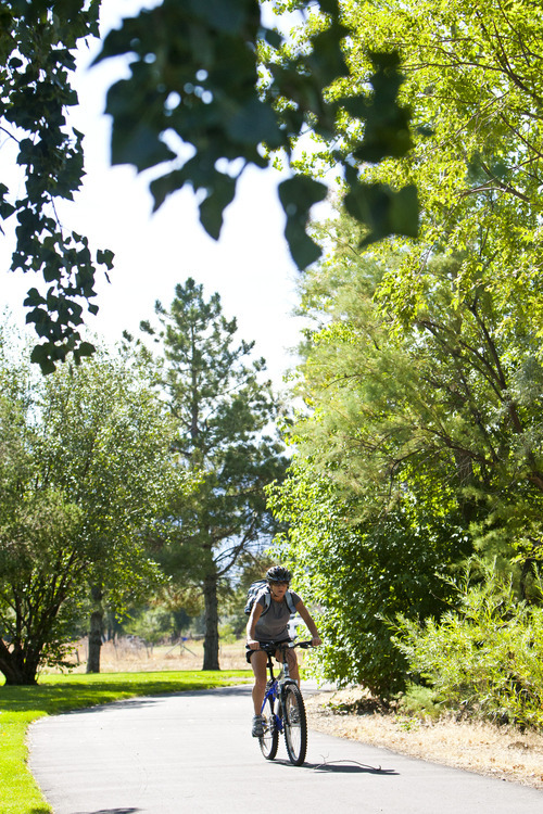
A new map of the Jordan River Parkway from North Salt Lake to Lehi highlights details that weren't available on previous maps. It designates entry points, rest rooms, as well as the three segments of the trail that require detours: North Temple to 300 South; 8500 South to 9200 South; and 14600 South to about 15000 South.
The map is available at seven locations and is designed to be carried by bikers or hikers. The map also can be downloaded in eight segments at http://www.slco.org.
"This level of detail has never been available before on the Jordan River Parkway map," said Martin Jensen, spokesman for Salt Lake County Parks.
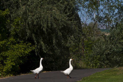
Salt Lake County Mayor Peter Corroon said the map also highlights urban parks, and native plant and animal species that can be seen along the trail and river.
"It shows how residents can connect to other trail systems in Davis and Utah counties," Corroon said. "It provides opportunities for biking and walking along 76 miles of paved trails in three counties."
The map was created in conjunction with the National Park Service and Jordan River Commission.
— Christopher Smart —
Pick up a free Jordan River Parkway map
Northwest Recreation Center, 1300 W. 300 North, Salt Lake City
Salt Lake County Parks & Recreation, 2266 Evergreen Ave.
Salt Lake County Parks & Recreation, 2001 S. State
J.L. Sorenson Recreation Center, 5350 W. Herriman Main Street, Herriman
Magna Recreation Center, 3270 S. 8400 West, Magna
Dimple Dell Recreation Center, 10670 S. 1000 East, Sandy
Salt Lake County Parks & Recreation, 3383 S. 300 East