This is an archived article that was published on sltrib.com in 2014, and information in the article may be outdated. It is provided only for personal research purposes and may not be reprinted.
Directions •Remember to purchase your $6 recreation pass at the Forest Service office in Kamas, 50 E. Center St., or at the self-pay stations along Highway 150. From Kamas, take Highway 150, also known as the Mirror Lake Highway, east for 32 miles to the Pass Lake Trail Head. It's on the north side of the road. The trail to Cuberant Lake is on the west end of the parking lot. GPS coordinates are 40.713943, -110.893402.
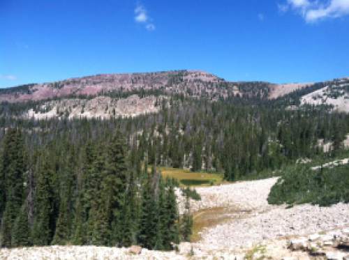
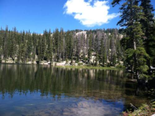
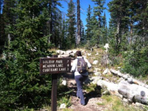
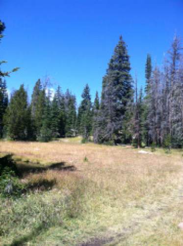
The Cuberant Lake Trail takes you by a series of lakes. The fourth is the biggest and considered the Cuberant Lake. From the trail head, the well-shaded trail moves gradually to the northwest. The first of multiple meadows begins at .7 miles. Not long after, significant ascents begin. The steepest ascent begins about 2 1/4 miles from the trail head and finishes on a ridge overlooking a valley with a pond below. The trail turns to the north. At 3 miles, we stopped at a beautiful lake. The bigger Cuberant Lake sits another half mile from there. Click here for a map and GPS data.
— Nate Carlisle DestinationThird Cuberant Lake
Hiking time3.5 hours
Round trip miles5.96 miles
Elevation gain449 feet
DifficultyModerate
Trail head restroomsYes
Dogs allowedYes
Bikes allowedYes
Fees$6 recreation pass


