This is an archived article that was published on sltrib.com in 2015, and information in the article may be outdated. It is provided only for personal research purposes and may not be reprinted.
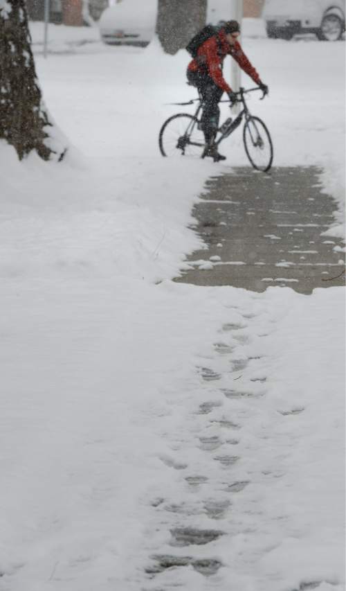
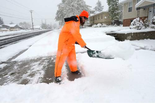
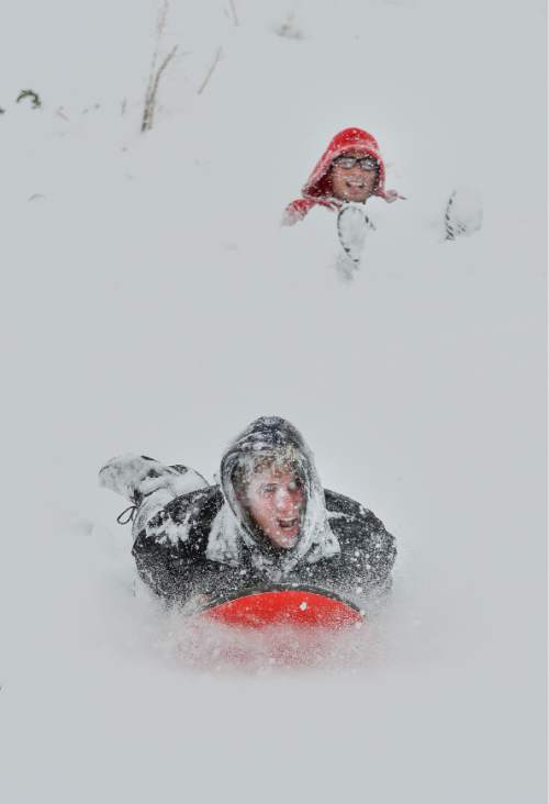
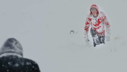
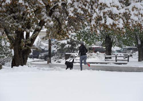
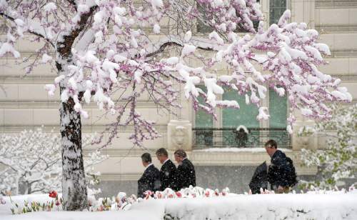
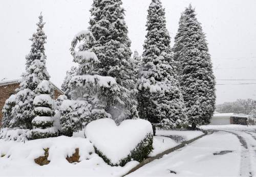
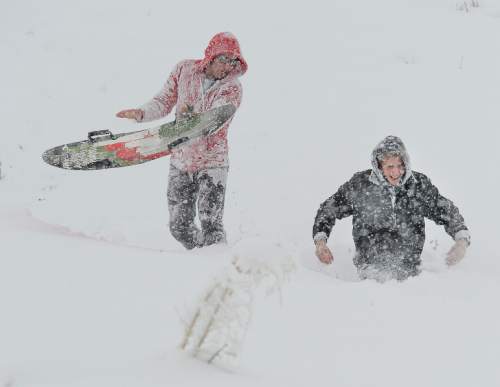
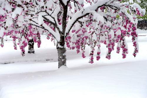
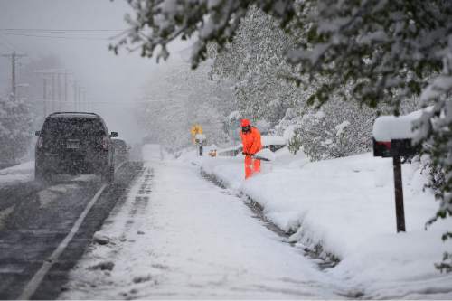
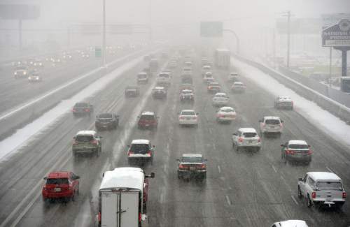
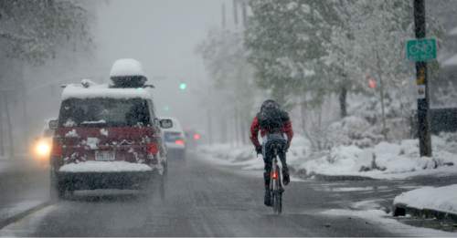
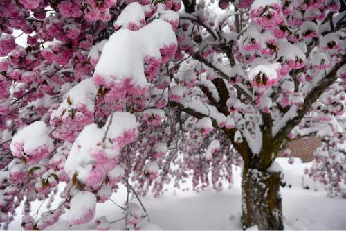
Wintry weather interrupted spring to blast the Wasatch Front on Wednesday, dumping at least a foot of snow in several valley locations and more than 2 feet at some ski resorts.
More than 13 inches of snow fell in Millcreek on Wednesday, more than a foot in Bountiful, and more than 10 inches in Salt Lake City, according to National Weather Service reports on Wednesday night.
After an exceptionally dry winter, skiers at Alta can finally enjoy at least 29 inches of new snow. Snowbird got 22 inches, with 18 inches at Brighton and 11 inches at Park City summit.
Salt Lake City International Airport reported 5 inches of snow — more than that particular station received in January, February and March combined.
The Utah Avalanche Center warned of elevated risk for potentially dangerous backcountry snowslides due to the storm.
Roads also proved dangerous. One person died in a multi-car crash on Interstate 80 about 7 p.m. Wednesday as ramps and bridges began to ice up near State Road 201 in western Salt Lake County, the Utah Highway Patrol reported. Details of the fatal wreck were not immediately available.
A UHP trooper also was injured while guarding a closure of SR-201 to prevent traffic from entering I-80 while crews investigated the fatal wreck, said UHP Sgt. Todd Royce. A motorist "blasted through," striking the trooper's car on the driver's side door and injuring her, Royce said. The trooper's injuries were not life-threatening, he said.
UHP reported that between midnight and noon Wednesday, there were 118 crashes in Salt Lake County, with 16 injuries; and 22, with two injuries, in Utah County.
"Our biggest problem was down on Interstate 15 by Spanish Fork, where we had three or four slideoffs on snowpacked roads," Royce said. "To the north, Parleys Canyon was causing some vehicles difficulty getting up [to the summit]. We had troopers assisting commercial vehicles in getting their tire chains on."
Lines of rigs waiting to chain up exceeded 20 vehicles at times.
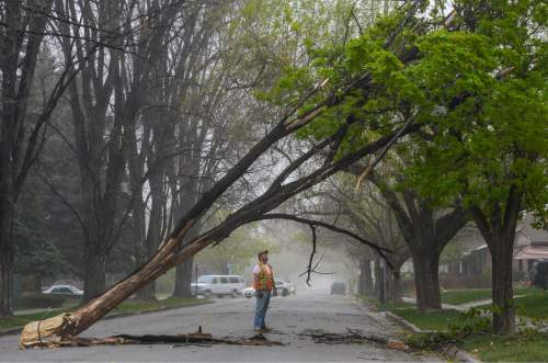
Wind and heavy snowfall combined to cause numerous, scattered electrical outages. Rocky Mountain Power spokesman Paul Murphy said pole fires, brought on by arcing of electricity, and downed lines initially left about 9,000 customers without service in the Salt Lake and Weber metro areas.
By Wednesday night, just over 1,100 customers were without power, mostly in Kearns, Taylorsville and West Valley City.
As massive as the storm was, however, it was not expected to do much for the state's coming summer water shortage.
"It will make a tiny dent, but it just won't be that significant," NWS meteorologist Mike Seaman said, noting that the previous three months of ineffective, dry winter weather likely did irreversible, long-term damage to the water picture.
"We are so far behind in terms of water [storage] in the northern mountains that we would need a series of these storms, and over the next several weeks, to really make a difference," Seaman said. "That just doesn't appear to be in the cards."
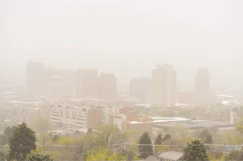
There was an upside to the storm: The Utah Division of Air Quality rated the entire state's breathing conditions as "green," or healthy.
Hard freeze warnings covered most of the state Wednesday night, with overnight lows expected in the teens and 20s for all but the southernmost counties. But snows were expected to ease overnight along the Wasatch Front, giving way to partly cloudy skies Thursday. Temperatures on Thursday were expected to reach the low 50s, up 5-7 degrees from Wednesday.
Snowfall was expected to continue in much of the rest of the state, with a winter weather advisory extending diagonally from northern Washington County to the Uinta Mountains.
The southwest corner of Utah generally escaped the wintry surprise of their northern neighbors. Highs in St. George were forecast in the 60s on Thursday. But southeast Utah was under a freeze warning overnight Wednesday, with rain and clouds on Thursday.
For more extensive forecast information, visit The Tribune's weather page at http://www.sltrib.com/weather/.
Twitter: @remims


