This is an archived article that was published on sltrib.com in 2015, and information in the article may be outdated. It is provided only for personal research purposes and may not be reprinted.
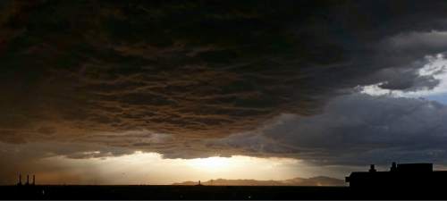
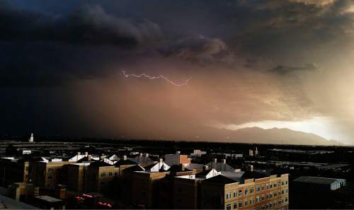
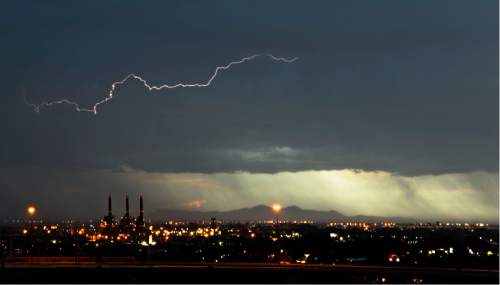
Slow, powerful storms swept north through Utah Saturday.
As the storms crossed southern Utah, two weak tornadoes touched down Saturday afternoon in the Montzuma Creek area in San Juan County, as well as near the Utah-Arizona border, according to San Juan County dispatchers. There were no reports of damage or injury.
The storms also brought heavy rain, hail, lightning and strong winds as they continued their thundering march northward. By Saturday evening, flooding was reported in Riverton, South Jordan, Herriman and Draper, according to Salt Lake County dispatchers.
And keep an umbrella handy: the weather service is predicting more rain for northern and central Utah on Sunday.
The chance of rain along the Wasatch Front should be heavier in the afternoon, according to the weather service.
The highs on Sunday along the Wasatch Front are expected to be in the 70s, with lows in the 40s and 50s.
St. George can expect a drier Sunday. The high is predicted to be about 90 on Sunday. The low will be in the upper 50s to low 60s, the weather service says.
The cooler wet weather is expected to be back Wednesday through late in the week as the next storm system moves into Utah.
Visit The Tribune's weather page at http://www.sltrib.com/weather.
Twitter: @PamelaMansonSLC, @MikeyPanda


