


This is an archived article that was published on sltrib.com in 2015, and information in the article may be outdated. It is provided only for personal research purposes and may not be reprinted.
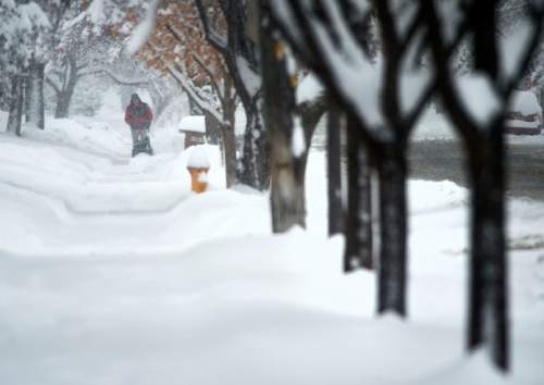
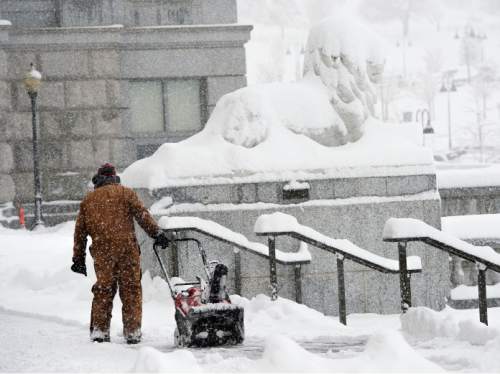
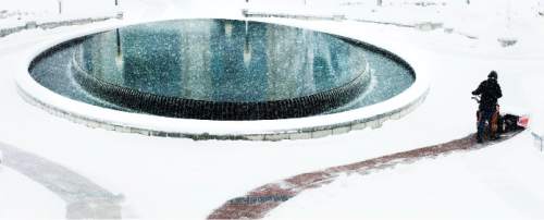
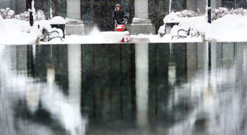
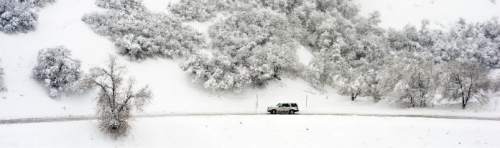
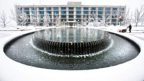
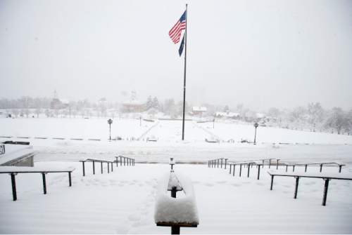
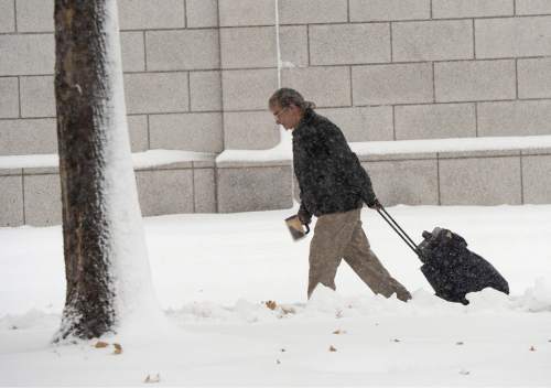
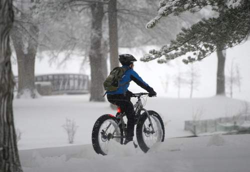
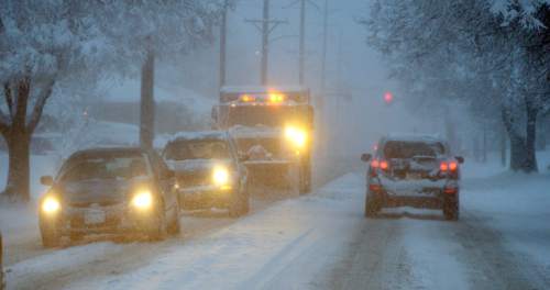
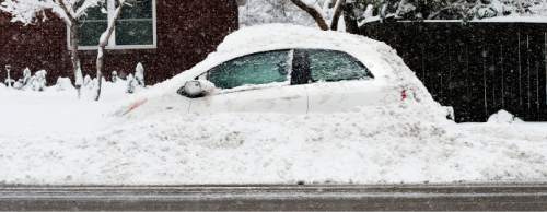
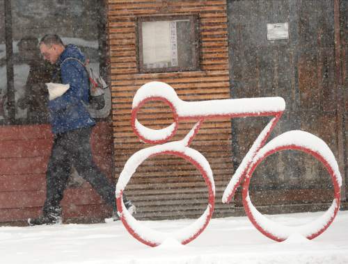
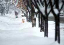
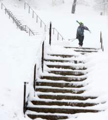
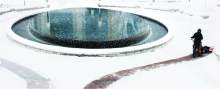
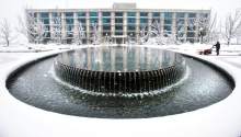
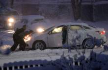
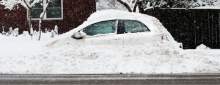
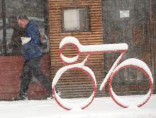
The first major storm of the season hammered northern Utah early Monday, clogging the region's interstates with wet, heavy snow and slowing traffic to a crawl in the mountain passes. The weather also was blamed for power outages affecting nearly 10,000 homes and businesses.
The Utah Department of Transportation declared the state's roads a slippery, snow-clogged mess. Big and Little Cottonwood canyons, east of Salt Lake City, and Sardine Canyon in Cache County, were closed to all but four-wheel drive or tire-chained vehicles. Semitrailer rigs were banned from State Road 14 between Cedar City and the Long Valley Junction with U.S. 89, and a 3-mile stretch of SR 143 near Panguitch was completely closed down.
With 6.9 inches of snow reported at the Salt Lake City Airport since midnight Sunday, the National Weather Service (NWS) said the previous record for the day — 5.8 inches in 1922 — had been broken.
The storm prompted Gov. Gary Herbert to issue a statement urging employers to consider flexible work arrangements on Monday evening and Tuesday morning as employees planned their commutes.
"I have ordered all Cabinet members to use their discretion to ensure as many employees as possible are dismissed early in order to complete their commute home before sundown," Herbert said.
Sgt. Todd Royce said that by 9 a.m., the Utah Highway Patrol had already responded to more than 100 snow-related incidents on the Wasatch Front's interstates and highways.
"None of those involve serious injuries so far, but we've had a lot of crashes, slide-offs, collisions into [barrier] walls," Royce said Monday morning. "Our biggest problem has been keeping the traffic flowing. We're asking motorists who are involved in crashes to move off the interstates if their vehicles are still driveable."
Late Monday, Royce said there were more than 1,000 calls for service to his agency's Salt Lake dispatch center, which covers Salt Lake and Utah counties. Utah, Davis and Salt Lake Counties had 217 crashes Monday, Royce said.
UHP was urging motorists to slow down and exercise vigilance if they had to travel; if driving was optional, troopers advised drivers to stay off the roads.
In the Salt Lake Valley alone, police dispatchers reported more than 150 calls of accidents and stranded motorists by Monday evening.
Farther to the north, the Cache County Sheriff's Department was inundated in storm-related traffic calls, too. "We've been pretty busy," a dispatcher said.
Weather also was suspected as a factor in an outage that affected more than 10,000 customers statewide Monday morning, according to Rocky Mountain Power. As of Monday night, another 573 customers were without power in Ogden.
Most flight arrivals and departures remained on schedule at Salt Lake City International Airport, where officials reported snow removal and plane ice-thawing crews were busy. The NWS reported 6.9 inches of snow at the airport, noting that last year, the meteorological winter measured 6 inches — total.
Several school districts announced delayed starting times for Tuesday morning.
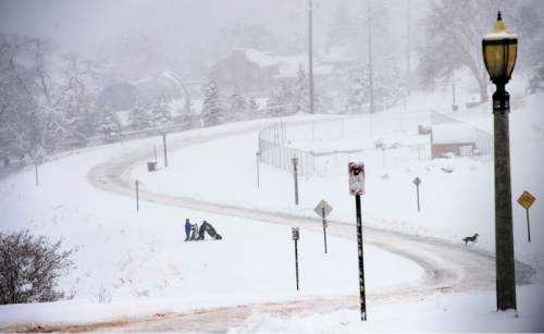
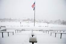
The NWS issued a winter storm warning for the Wasatch Front, from the Cache Valley south through Brigham City, Ogden, Salt Lake City, Provo, Nephi and Manti to Richfield, and Cedar City. Forecasters predicted more snow would fall late Monday and through Tuesday — 3 to 7 inches in the valleys, several more inches than that along the benches and 10 to 18 inches in some mountain locales.
The warning was in place through 9 p.m. Tuesday, with snowfall expected to taper off Monday afternoon. Then, the dreaded Great Salt Lake effect — where the warmer waters of Utah's inland sea boosts atmospheric moisture in the region — was expected to fuel another round of heavy snowfall in the Salt Lake Valley.
Despite the heavy snowing, Utah will need much more to make up for a four-year drought. Brian McInerney, a hydrologist with the NWS in Salt Lake City, said the mountains above Big and Little Cottonwood canyons had just over half the amount of snow they usually do at this time of year before the storm began.
"As such, we're still behind pretty significantly," he said, "but we can make up ground pretty fast with a really great storm cycle. This was a great start. This is what we needed."
A winter weather advisory was ordered for western and northeastern Utah, with snow of up to half a foot expected. That advisory, too, was set to expire 9 p.m. Tuesday.
As of Monday evening, more than 23 inches of new snow had fallen along the Bountiful benches, and 22 inches dropped in Cottonwood Heights. Snowbasin had 13 inches, South Ogden had 12 inches, and Provo Canyon had 15.
The storm propelled the risk for life-threatening mountain snowslides on Monday into the "high" category in the Ogden, Salt Lake and Provo districts, according to the Utah Avalanche Center. The risk rating was at "considerable" for the Uintas, and "moderate" for the Logan and Skyline districts.
The Utah Division of Air Quality gave the entire state a "green," or healthy, grade into the midweek.
For more extensive forecast information, visit the Tribune's weather page at http://www.sltrib.com/weather.
Twitter: @remims Schools and the snow •
Most of Utah's schools remained open Monday, though a few reported late starts.
In the Granite School District, Eastwood and Oakridge elementary schools started at 10 a.m.
West Valley City's East Hollywood High, a charter school, began classes at 10 a.m., as did the Utah Military Academy in Riverdale.
Salt Lake City's Intermountain Christian School, Mana Academy Charter School in West Valley City and Ranches Academy in Eagle Mountain were closed. Salt Lake City Suspends Regular Waste Pickup Due to Weather •
Due to weather conditions, Salt Lake City is ceasing regular Monday waste collections for the day.
With more snow forecast for Tuesday, City Sanitation Service will do their best to complete Monday and Tuesday routes pickups by Wednesday, but they may occur later in the day depending on road conditions. Snow is expected throughout Monday night and into Tuesday.
Residents are asked to please pull in their cans off the curb today so city snow plow drivers can clean the streets and plan on placing cans back out on Tuesday morning, before 7 a.m.
The City also requests residents refrain from putting out their recycle and compost cans if they can wait another week for collection to help expedite makeup service on Tuesday.
Collectors will work to accomplish pickups for residents who were missed first before moving on to regularly scheduled homes. If weather continues to impact collections, some pickups may need to be rescheduled for Saturday. Updates will be available on the City website at http://www.slcgreen.com.
— Salt Lake City Mayor's Office