


This is an archived article that was published on sltrib.com in 2016, and information in the article may be outdated. It is provided only for personal research purposes and may not be reprinted.
Directions • Take I-80 east through Evanston, Wyo., following exit 34 toward Fort Bridger and Mountain View. Follow WY-410 south as it becomes Co Rd 283, then FR017 and FR077 until you reach the trailhead.
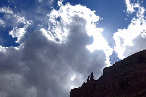
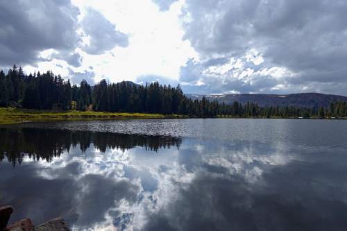
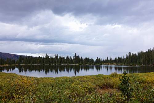
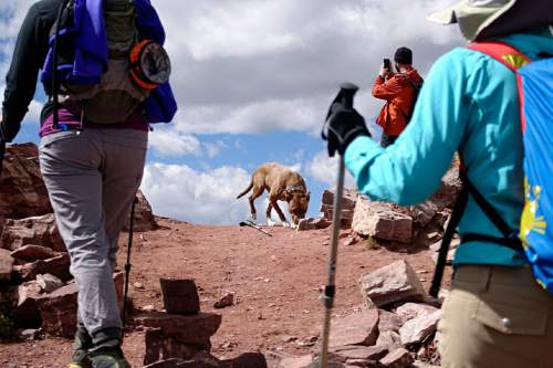
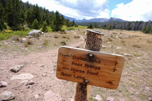
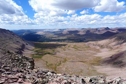
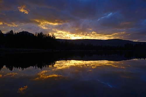
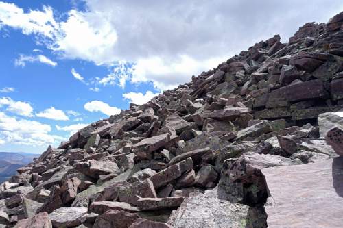
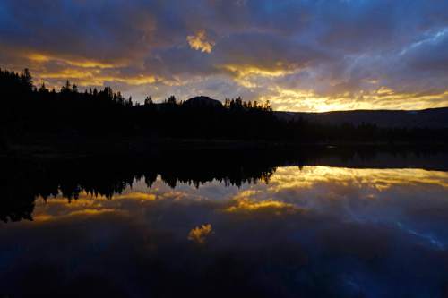
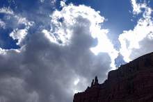
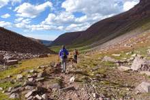
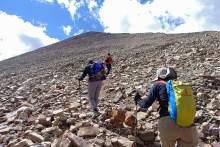
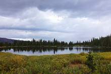
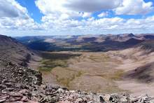
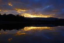
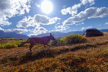
Hike • Make sure you have proper hiking boots, because this one's a slog. From Henrys Fork, the trail leads south toward Kings Peak through forests of aspen and pine. Incline is gradual. About 5.5 miles along the trail, you will encounter a fork. To the right is Henry's Fork Lake and a route that adds a few extra miles to the trip. Take the left fork toward Dollar Lake and carefully navigate the bridge at Elkhorn Crossing. Continue along the trail for another mile and, after passing through some trees and a brief steep, rocky area, you'll reach a clearing and Kings Peak will come into view. From a distance, it doesn't appear to be the highest peak but you can recognize it by its pointy shape and a series of steps leading to the peak (false summits that might fool you later). About 8 miles in, watch for signs prohibiting campfires near lakes and Dollar Lake is on the left. There are a few trails heading to the lake, but they are not obvious. Departing from Dollar Lake, follow the trail a couple more miles until switchbacks lead up to Gunsight Pass. Descend into Painter's Basin and the trail will veer right, circumventing a large mountain of loose rocks on the right. From here, the trail steepens as you approach Anderson Pass, and finally Kings Peak. There is no defined trail leading to the peak, so exercise caution as you find a route up this class 2 scramble. I found the best route is to stay near the ridge. A wooden placard marks the top of the peak, along with views of the Uintas for miles in every direction.
— Lennie Mahler
Destination: Kings Peak
Hiking time • 19 hours (over 3 days)
Round-trip miles • 29.75 miles
Elevation gain • 5,073 feet
Difficulty • Difficult
Trailhead restrooms • Yes
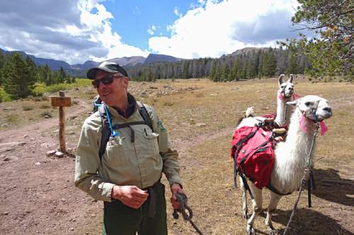
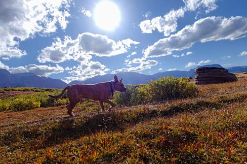
Dogs allowed • Yes
Bikes allowed • No
Fees • N/A