This is an archived article that was published on sltrib.com in 2016, and information in the article may be outdated. It is provided only for personal research purposes and may not be reprinted.
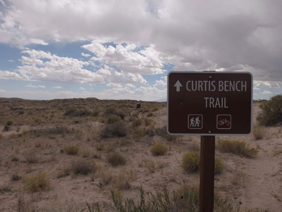
Directions • From the visitor's center, take Goblin Valley Road 1 mile south to an intersection. In front of you and slightly to the right, you will see a sign directing you to the Curtis Bench Trail. Follow the sign and drive another quarter mile to the parking area.
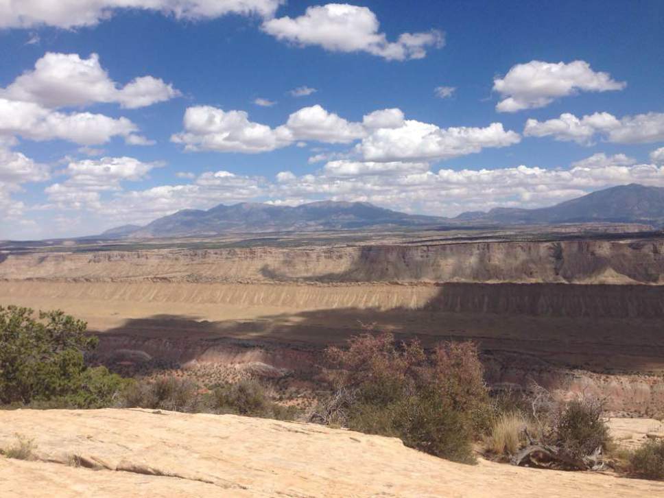
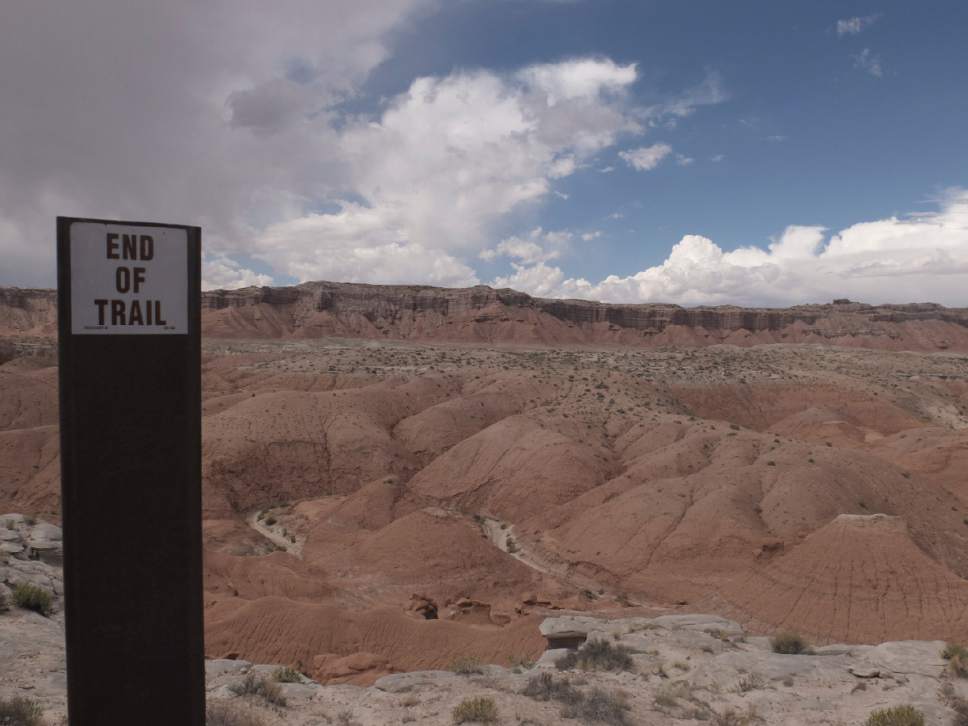
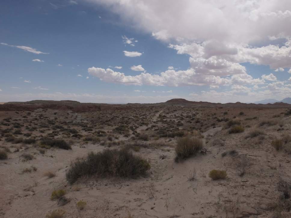
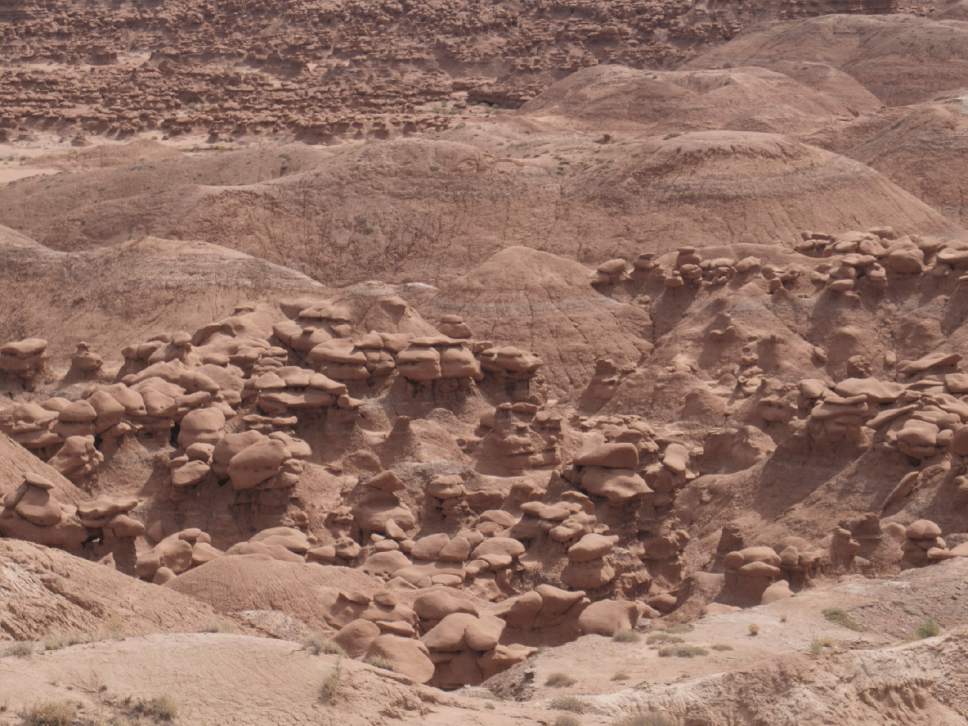
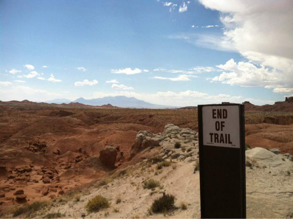
Hike • This short, flat hike offers a view of the goblins that give the park and the surrounding valley their name. From the trailhead, walk south-southeast along the well-marked path. At 0.54 miles, you begin to see goblins and soon see a path to the east that takes you into the valley of the goblins. But if you continue to the south, you soon reach the viewpoint. More goblins will be on the valley floor to the east. Miles to the south, you see the Henry Mountains.
— Nate Carlisle
Digital map available at: https://drive.google.com/open?id=1nlFiEUAhxGNnLWtiWaazOTV6vc8&usp=sharing
Find more hikes in our trail database: http://local.sltrib.com/hiking
— Nate Carlisle
Destination: Overlook
Hiking time • 1 hour
Round-trip miles • 1.7 miles
Elevation gain • 1,010 feet
Difficulty • Easy
Trailhead restrooms • No
Dogs allowed • Yes
Bikes allowed • Yes
Fees • $13 (park entrance fee)


