This is an archived article that was published on sltrib.com in 2016, and information in the article may be outdated. It is provided only for personal research purposes and may not be reprinted.
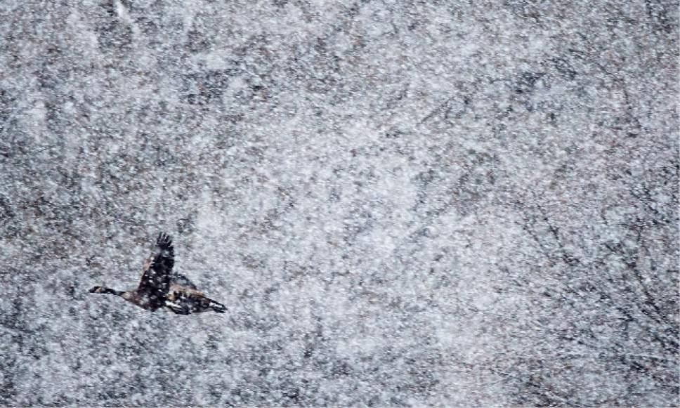
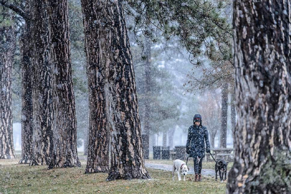
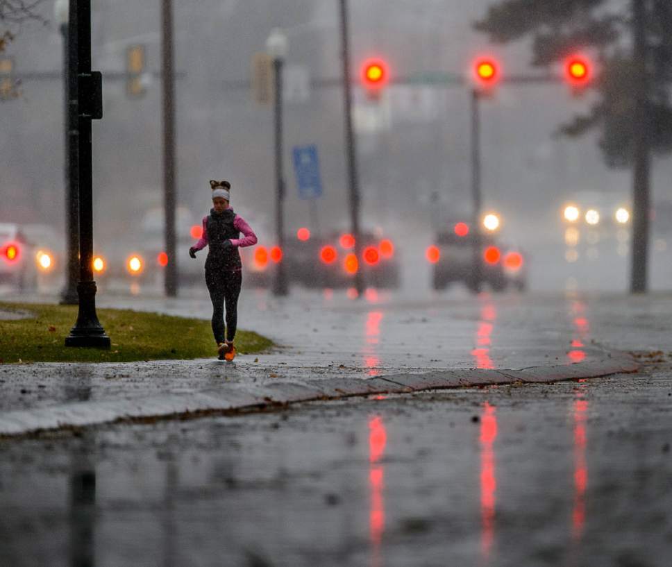
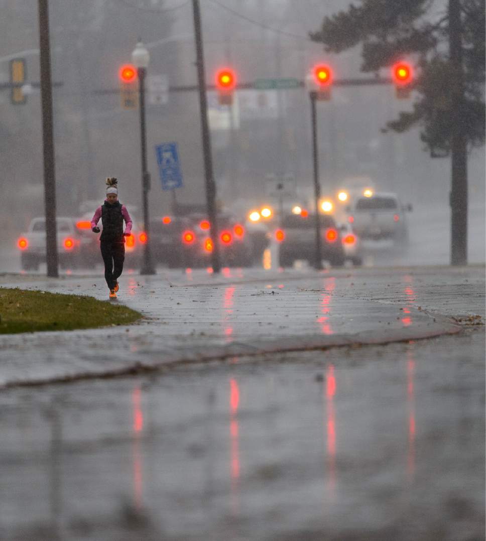
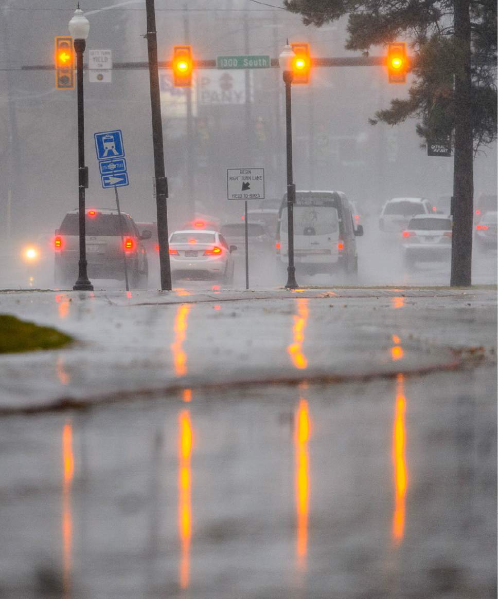
Northern Utah, feeling the full force of a windy, wet Pacific storm system, entered the weekend with persistent valley rain, thunderstorms and heavy mountain snows.
Friday began with a Winter Storm Warning in place from Idaho border south through Logan, Ogden, Salt Lake City, Park City, Provo, Nephi and Cedar City, as well as eastern Utah's Uintas, the Tavaputs Plateau and the high desert and mountains between Moab and Blanding.
That advisory was not to expire until 4 a.m. Saturday, after winds topping 60 mph along the ridgetops brought 1-2 feet of snow to the higher elevations.
Snow accumulations topped 5 inches at Wanship Dam, 9 inches at Powder Mountain and 33 inches at Brighton Crest. Provo Canyon and Aspen Grove also received more than 5 inches of rain.
The late poet and author Maya Angelou would advise you to just bundle up, grin and bear it: "Nature has no mercy at all. Nature say, 'I'm going to snow. If you have on a bikini and now shoeshoes, that's tough. I'm going to snow anyway.'"
Friday also dawned with high wind warnings issued for west central and southwestern Utah, as well as south central Utah and the San Rafael Swell, Glen Canyon and Lake Powell areas. The warning encompassing the towns of Delta, Fillmore, Beaver, Cedar City and Milford expired at 4 p.m., while the warning including Green River, Hanksville, Kanab, Escalante and Bullfrog Marina extended through 10 p.m. Friday.
Wind speeds reached 96 mph at Snowbasin and 73 mph at Fremont Island, while speeds in other areas along the Wasatch Front varied from 43mph to 69 mph.
The Utah Department of Transporation issued a special advisory for strong wind gusts for portions of interstates 80, 15 and 70, and highways 70, 6/50, 40 and 36. It expired at 11 p.m. Friday.
As if the rain, snow and winds weren't enough, a Flash Flood Watch was in place for portions of southwestern Utah and Zion National Park through Friday evening — and forecasters also warned of rare thundersnow for several hours Friday afternoon for southeastern Tooele, eastern Salt Lake, northeastern Juab, southcentral Morgan, northwestern Wasatch and all of Utah counties.
The Wasatch Front also was in for a dramatic shift toward frigid temperatures. Friday's highs were forecast to be in the low-50s, but overnight lows leading into Saturday will plunge into the upper-teens. Highs will rise only 5-7 degrees by mid-day Saturday, with Sunday dawning with an icy 10-15 degrees before settling for highs only in the mid-20s.
Come Monday, pre-dawn temperatures will again be in the 10-15 degree range before rising to near 30 in the afternoon.
While snowfall was rarer in southern Utah, heavy rain and winds 15-30 mph will accompany overnight lows in the upper-20s and daytime highs in the upper-40s through the weekend.
The storms scoured the urban valleys of the state, resulting in the Utah Division of Air Quality awarding "green," or healthy grades statewide into the weekend.
However, all that fresh, moisture-laden snow and high winds combined to elevate the risk for potentially deadly backcountry mountain snowslides. The Utah Avalanche Center rated the danger as "high" for the Uintas on Friday.
And the day began with the mountains above Logan, Ogden, Salt Lake City and Provo rated with "considerable" risk, the Skyline district as "moderate" and the Abajo and Moab mountains as "low," the risk for danger in all zones was "high" by Friday night.
For more extensive forecast information visit the Tribune's weather page at http://www.sltrib.com/news/weather/.
Twitter: @remims Be careful out there! •
Big and Little Cottonwood canyons began Friday's morning commute with travel restricted to four-wheel-drive or tire-chained vehicles.
Semi-trailer rigs also were mandated to use tire chains on U.S. 6, eastbound and westbound in Spanish Fork Canyon.
The Powder Mountain Highway (S.R. 158 in Weber County) was closed from 6:30 a.m. to 9:30 a.m. for avalanche control work.
S.R. 143 from Brian Head to Mammoth Creek was closed due to snow and high winds Friday morning. There was no estimate for when the road, between Iron and Garfield counties, would reopen.
— The Utah Department of Transportation


