This is an archived article that was published on sltrib.com in 2017, and information in the article may be outdated. It is provided only for personal research purposes and may not be reprinted.
Utah isn't out of the snow-filled woods yet.
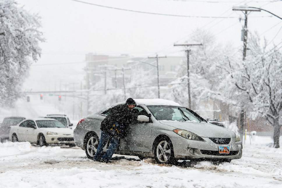
A day after a blanket of snow across much of the state challenged drivers to travel without running into each other, mountain-goers will celebrate and commuters will dread forecasts that call for the next snowstorm to roll into the northern Wasatch Front region Sunday afternoon.
The National Weather Service has issued a winter storm watch and expects snow to begin falling Sunday afternoon before picking up just in time for the work week. UDOT is already warning of a brutal Monday commute from Cedar City to Logan.
There's a good chance snowfall starts in Salt Lake City on Sunday afternoon, but the heavy stuff will start coming down Monday morning, when the city is expected to get 4–8 inches. The Weather Service expects heavy snow in Logan and Ogden, which may get up to 8 inches between Sunday night and Monday afternoon.
Mountains across central and southern Utah are expected to receive up to 2 feet through Monday night.
The active snowy weather means Utah's ski resorts are anticipating their good season to continue into the week. After skiers and snowboarders at some resorts got nearly 2-foot powder days Saturday, the Weather Service expects more through Tuesday.
Through Monday night, Park City is expected to get up to 17 inches; up to 16 inches at Snowbasin; as much as 19 inches at Brian Head; up to 21 inches at Powder; and up to 2 feet at Snowbird, Alta, Solitude and Brighton.
Twitter: @TaylorWAnderson


