This is an archived article that was published on sltrib.com in 2017, and information in the article may be outdated. It is provided only for personal research purposes and may not be reprinted.
In this day of global positioning systems and Google maps, it might be difficult to think of mapmaking as an inexact science or even as art.
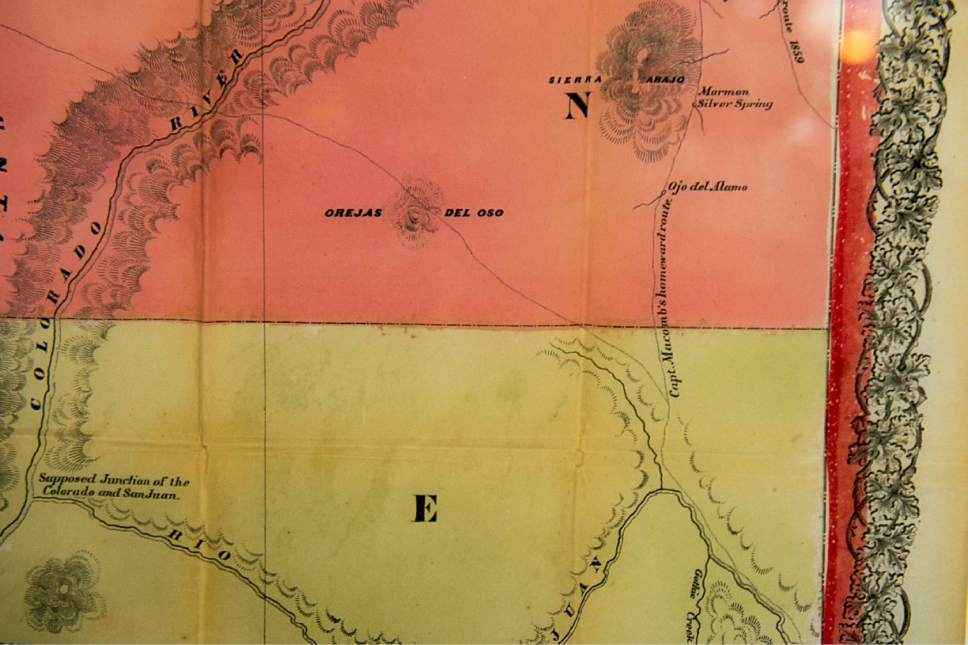
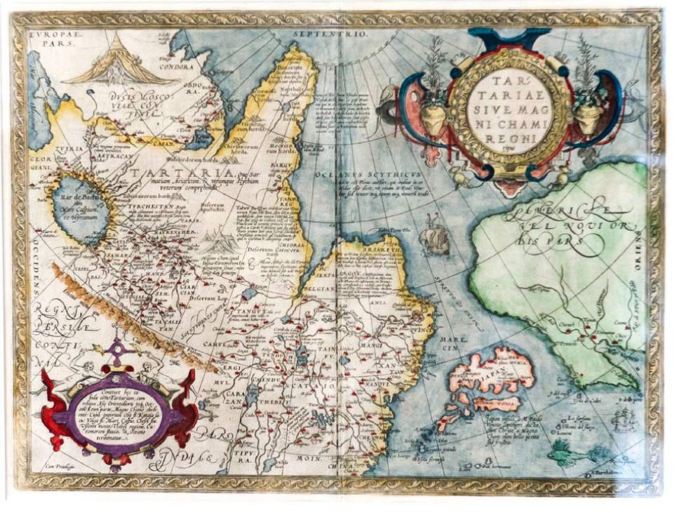
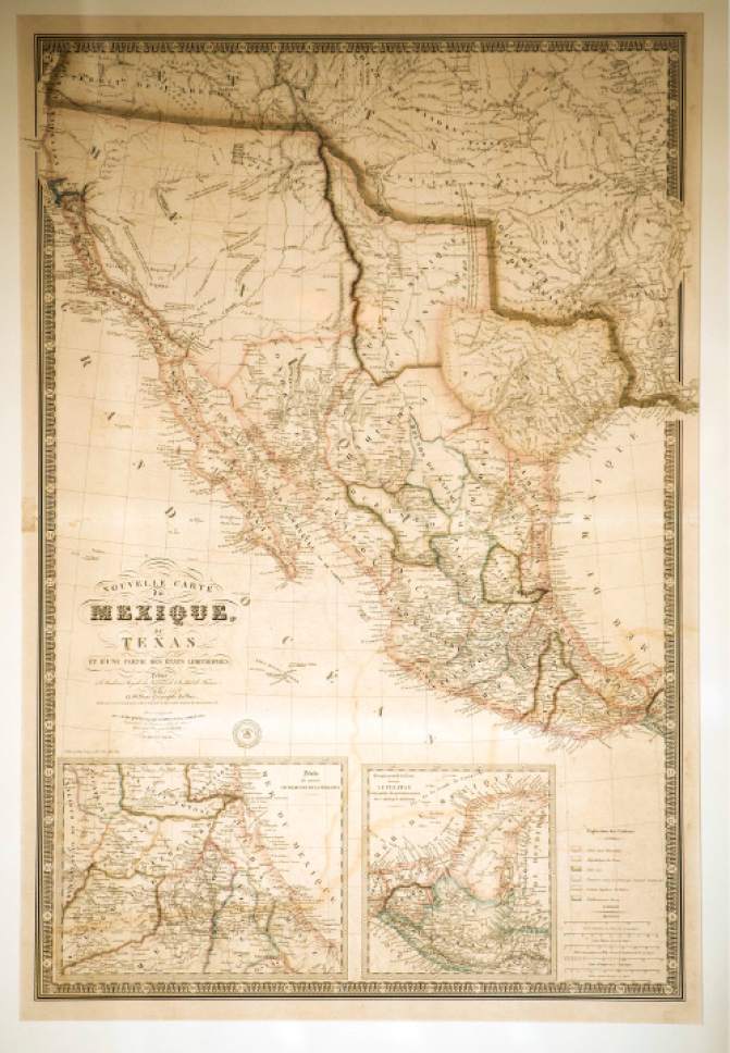
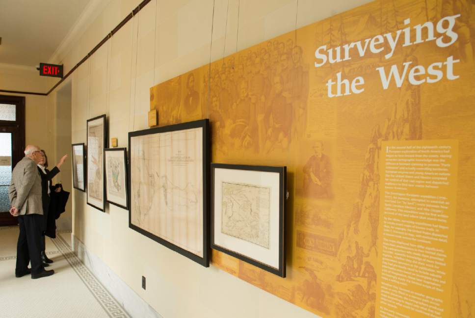
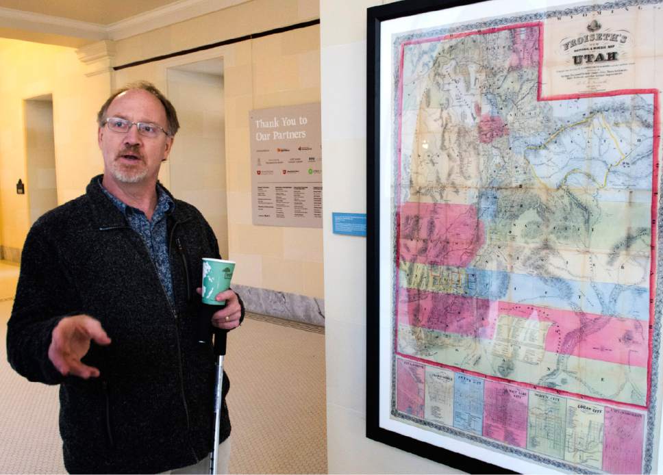
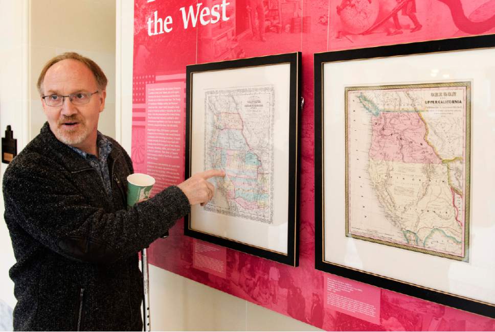
But a new exhibit on the western side of the Utah State Capitol's fourth floor called "Utah Drawn: An Exhibition of Rare Maps" shows mapmaking as an artform capable of revealing interesting tidbits of history.
The free exhibit consists of 40 rare historical maps tracing how mapmakers viewed what is now Utah from the early-1500s through statehood.
"Maps serve many purposes," said Brad Westwood, Division of State History director, whose agency put together the exhibition that is scheduled to run through this summer. "Maps identify physical geographies and record landmarks and boundaries. They also reflect the imaginations, values and goals of mapmakers. This is certainly true of these remarkable and rare maps."
Westwood said maps provide one of the best access points to history.
"The information draws you from one place to the other," he said. "They tell a story. They are not neutral objects. They are acts of power."
Many of the maps in the exhibit came from the private collection of Stephen Boulay, who moved to Utah 30 years ago.
Boulay started his collection with Russian maps and documents.
"Utah has such a unique history with a wealth of interesting material," he said. "When you collect, you can see new geographic knowledge of what is there, such as a mountain, river or lake. And you can see new political knowledge when the state was part of Spain, Mexico or who knows."
Boulay said Utah was largely unknown to the English-speaking world until about 1820.
"When you look at the maps of any era, I think you put on two sets of glasses," he said. "One is what are they trying to sell you. … The Spanish went up here and thought there was money to be made, so in the early maps, there are references to making money."
Six of the maps can be viewed on the Division of State History's website, history.utah.gov/utahdrawn. But, to get an idea of the scope of the exhibit and more of a feel for the maps, visiting the Capitol is worth the trip.
The maps, the exhibit explains, "represent physical geographies, recording landmarks, routes and boundaries. But they also reflect varying perceptions, imaginations, values and aspirations."
Westwood said this is evident in the early maps of Salt Lake City, which showed an audacious act of Brigham Young plotting out a city that included four parks in a place where only a few folks lived at the time.
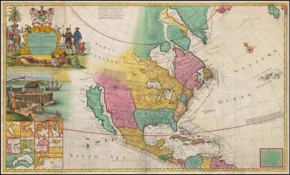
The earliest maps of North America showed little if any knowledge of what would eventually become Utah. One simply labeled a big swath of the West as "parts unknown."
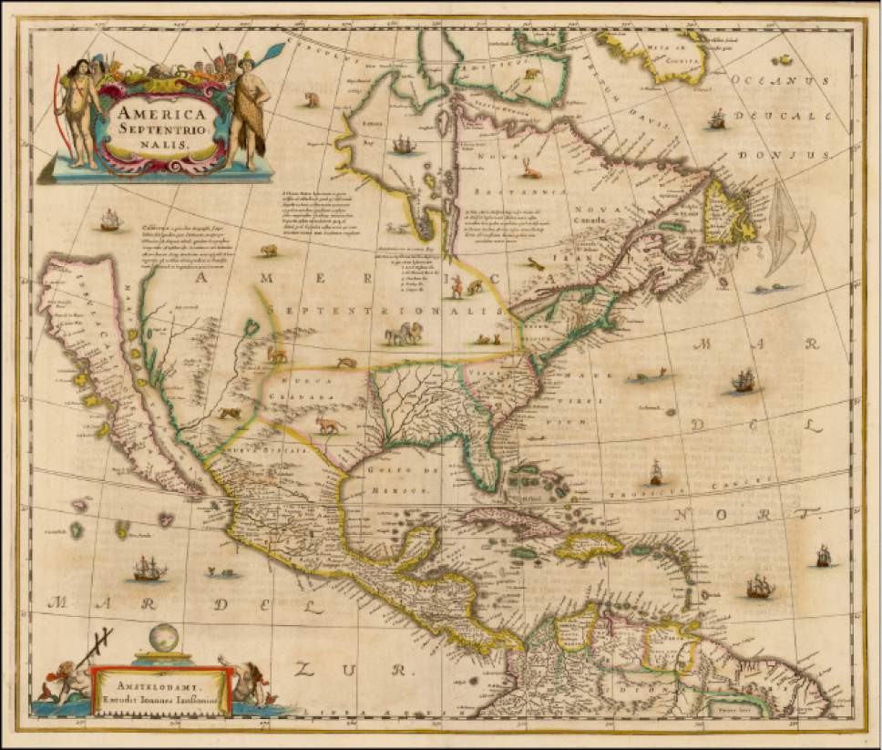
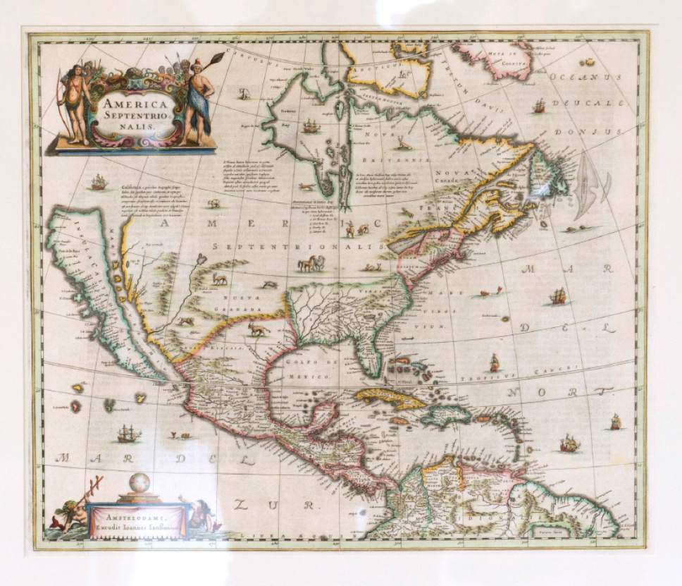
One 1641 map by Dutch cartographer Jan Jansson is believed to be the first atlas to give North America its own page. But it greatly erred in showing California as an island, which organizers say was not uncommon in those early days.
The exhibit shows that the Great Salt Lake did not enter into the written record until the Timpanogos Utes told Dominguez and Escalante of its existence in 1776.
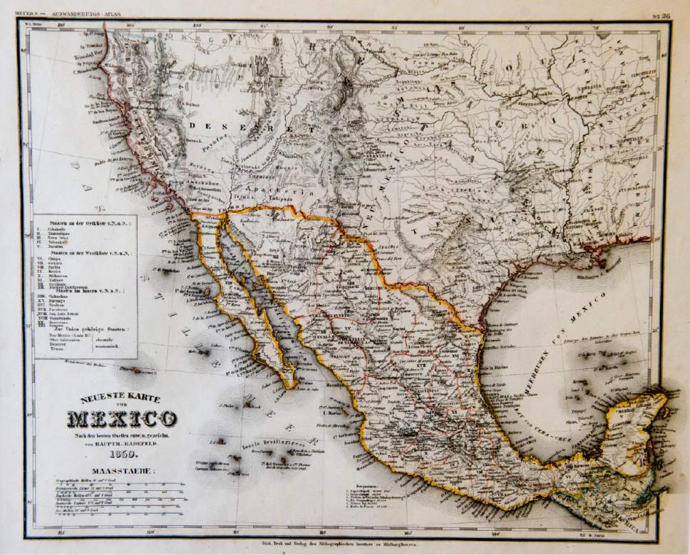
Most Utah history buffs know that the state was part of Mexico when Mormon pioneers first settled here. But few are likely to know that the reason the name Deseret was changed to Utah was that Congress thought Deseret sounded too much like "desert."
One map showed the original Deseret territory as envisioned by Mormons. It included all of Utah and Nevada, one-third of California and parts of New Mexico, Arizona, Colorado, Idaho, Wyoming and Oregon.
But, as one mapmaker stated, Congress continued to cut off chunks of the Utah territory "like splitting a man up his backbone."
Westwood said the federal government making what was largely a Mormon territory smaller and smaller is one of the reasons for Utahns' distrust of the federal government to this day.
"It was pretty grand," he said of the original Deseret territory. "It went from San Diego all the way to the Nebraska territory. That reflected the feds' distrust for the community at the time."
The grandness of the plans also struck Boulay, who was fascinated by Young's first proposal of a state and the aspirational words found in news stories of the day that he collected.
He said the Mormon leader pictured a Utah with a seaport border that stretched to the front range in Colorado and up to the Oregon territory.
"It was interesting to read how the rest of the country looked at this," said Boulay. "They were interested in the people that made the desert bloom. That is the kind of history that is fantastic and so close to us. You can see it with maps and documents."
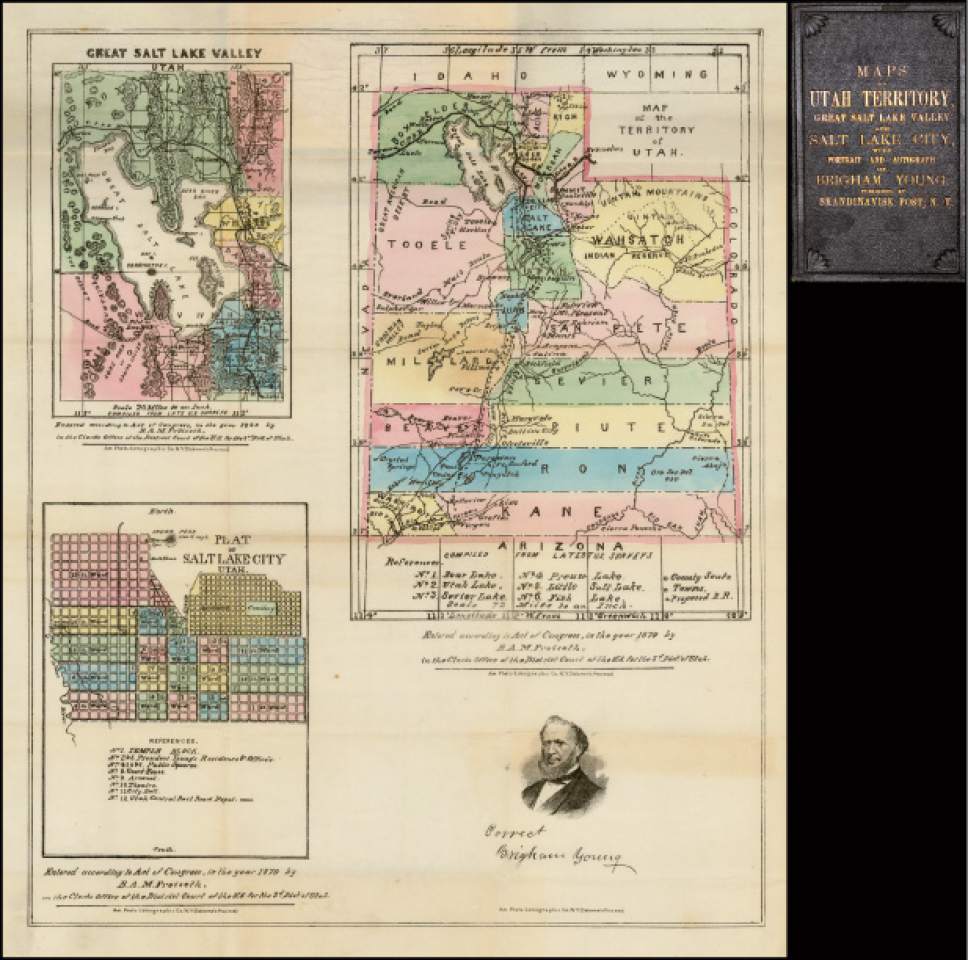
Later maps of the state also reflected the reality of the time. For example, an 1871 map of what would become Utah on display at the Capitol included smaller maps of the major cities at the time, which, in addition to Salt Lake, Ogden, Provo and St. George, included Corinne and Stockton.
Salt Lake City history buffs might enjoy looking at maps showing how Young envisioned how the city's square blocks and wide streets would occur. There are city maps from 1847, 1888 and 1900 on display.
Others maps show where local tribes, especially the Utes, resided in the 1800s, as well as where the major railroads of the day crisscrossed the land. There is an interesting historical map of the mining towns of Park City and Alta that showed a degree of planning, even in non-Mormon areas where the grid system did not occur.
According to the Division of History, the maps show the steady increase of geographic knowledge about Utah while reflecting the political and economic interests that produced them.
"The federal government hoped to create states of relatively equal sizes and with rational borders in the American West, but the piecemeal expansion into the West made it difficult to achieve this goal," read the Division of History announcement about the exhibit. "As it did in the case of Utah's boundaries, Congress sometimes chose to forgo neat boundaries and equal size in order to limit the power of regions whose people it found worrisome."
The original maps are from Boulay, the Utah State Historical Society, LDS Church History Department, L. Tom Perry Special Collections at Brigham Young University, special collections at the J. Willard Marriott Library and the American West Center at the University of Utah.
Westwood said that while the Division of History has a massive collection of historical artifacts stored at the Rio Grande Railroad terminal, it has not put many on display.
He said this exhibit provided a chance to work with Boulay, who was willing to share his collection with the public. Opening the exhibition to coincide with the Utah legislative session was another motivation.
"The state history department put a lot of time and effort into this," said Boulay. "The stuff is incredible, but they were the one to put their arms around it and tell the right story. The raw material is meaningless without the organizational capacity."
Twitter: @tribtomwharton


