


This is an archived article that was published on sltrib.com in 2011, and information in the article may be outdated. It is provided only for personal research purposes and may not be reprinted.
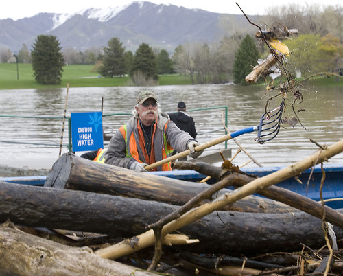
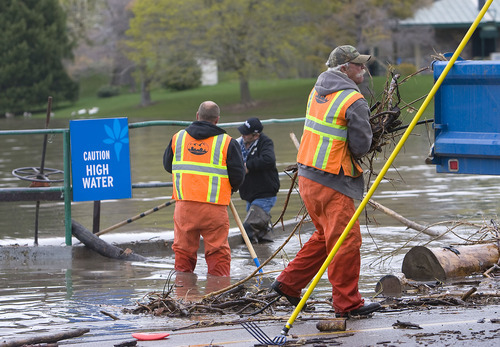
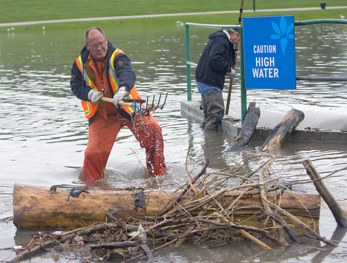
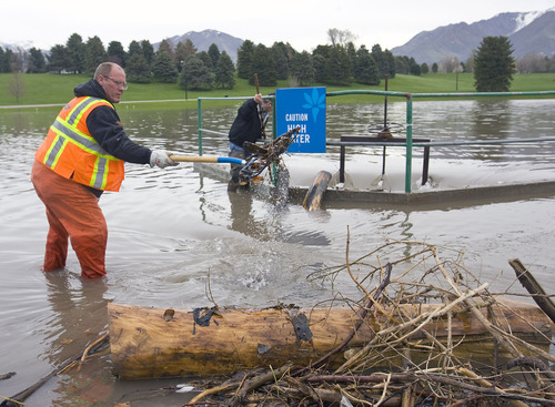
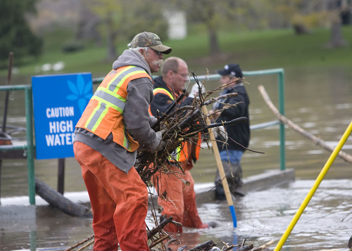
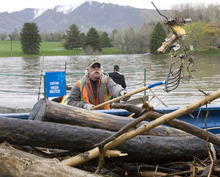
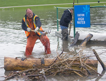
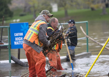
Emergency crews and volunteers fought Wednesday to push back flooding from breached levees even as they shored up barriers along northern Utah's swollen waterways ahead of a new storm system.
The National Weather Service identified rivers and creeks throughout northern and eastern Utah for high flooding concerns as a new Pacific storm pulse — expected to bring renewed, sometimes heavy rainfall Thursday morning — moved toward the region.
In their Updated Utah Flood Potential report released late Tuesday, forecasters flagged City and Emigration creeks in Salt Lake County; the Weber River in Weber County; Cache County's Logan and Blacksmith Fork rivers; Chalk Creek in Summit County; and the Blacks Fork River along the Utah-Wyoming border for high flooding risks.
On Tuesday, while the state dodged major flooding elsewhere, it was in soggy Weber County where the overflowing Weber River breached an earthen levee in seven locations from Plain City to the Mariott-Slaterville area.
The largest breach, about 100 feet wide, flooded several homes and threatened nearly two-dozen others early Tuesday afternoon, but by nightfall the water had begun to recede. Sandbaggers succeeded in turning back floodwaters slopping toward numerous structures.
Crews hoped to move heavily equipment in Wednesday to make repairs along affected sections of the levee.
No new major flooding incidents were reported overnight in Weber County — over Salt Lake, Cache or Summit counties, according to sheriffs' dispatchers. Still, it was no time for emergency services to relax.
Forecasters predicted that after Thursday's storm and a lull on Friday, northern Utah will again be hit by wet weather over the weekend. How serious flooding risks will be during the period depends on a weather wildcard: How warm will it get, and how fast will Utah's bountiful snowpack melt and find its way into the state's plains and valleys?
For now, at least, it appears that thermometers may cooperate. The forecast calls for northern Utah high daytime temperatures to be in the low 60s Saturday and Sunday, while the mercury cools to highs in the low 50s on Monday. More flood info
Find out more about the flooding at The Tribune's flooding page, http://www.sltrib.com/topics/utflood.Track the flooding on Twitter with hashtag #utflood. Have photos?
Share your photos of high water and flooding with Tribune readers. E-mail your photo, name and a short description to myphotos@sltrib.com.