This is an archived article that was published on sltrib.com in 2017, and information in the article may be outdated. It is provided only for personal research purposes and may not be reprinted.
Directions • The trailhead is in a cul-de-sac at the eastern edge of 1000 South in Hurricane. From State Street (also known as State Route 9), turn south onto 200 West for four-tenths of a mile. Then turn east onto 400 South, followed by a quick turn south again onto 180 West. Follow 180 West for six-tenths of a mile to 1000 South. The cul-de-sac and trailhead will be on your left.
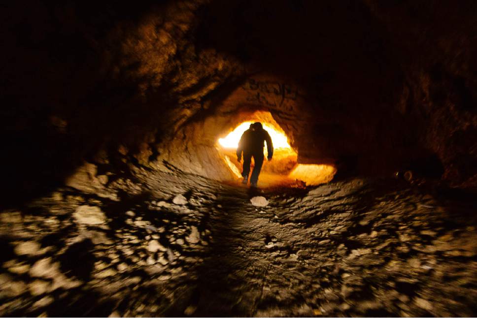
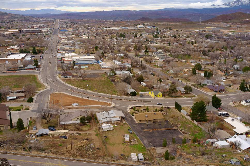
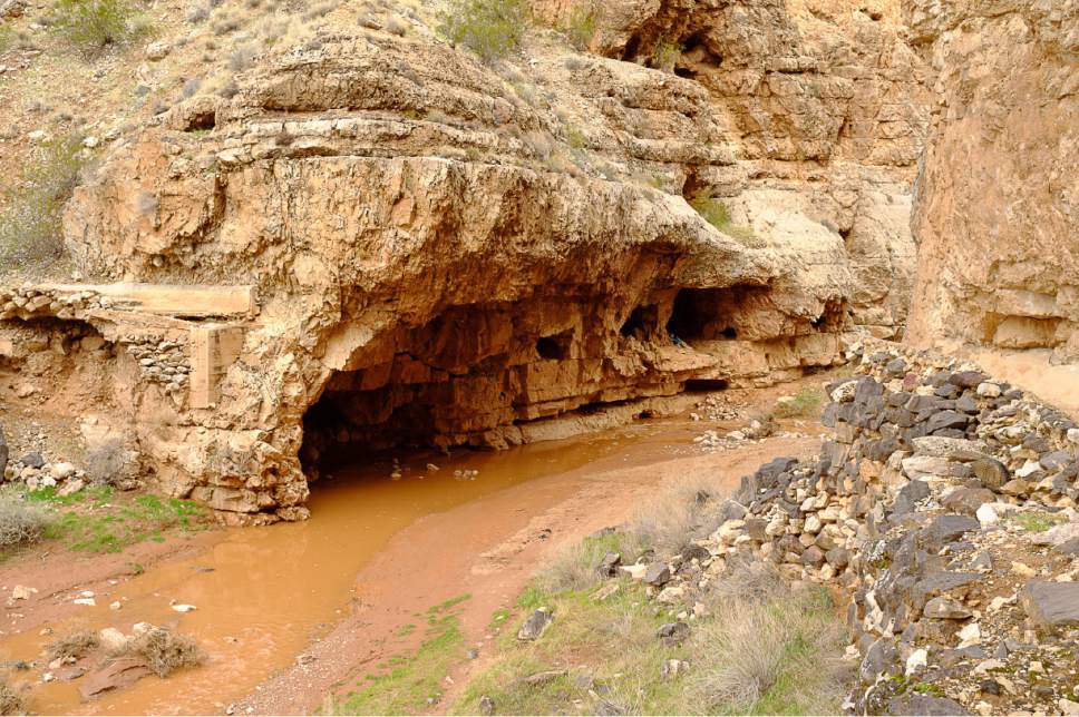
The hike • This is a good hike to see Hurricane Valley and the southern Utah town of the same name. From the trailhead, follow the trail north. Soon you will see a tunnel leading to a wash. Go through the tunnel and into the wash only if there's no chance of flooding. Or you can hike a little farther north and go around the point of a canyon. Either way, you need to cross the wash and begin following the switchbacks up the cliff face. One spot near the ridge may require some scrambling. Once on the ridge, continue hiking north. When you can look to the west and see yourself looking down State Street, you're at the overlook.
— Nate Carlisle
Destination: Overlooking State Street
Roundtrip miles • 4 miles
Elevation gain • 386 feet
Difficulty • Easy
Trailhead restrooms • No
Dogs allowed • Yes
Bikes allowed • Yes
Fees • No


