


This is an archived article that was published on sltrib.com in 2011, and information in the article may be outdated. It is provided only for personal research purposes and may not be reprinted.
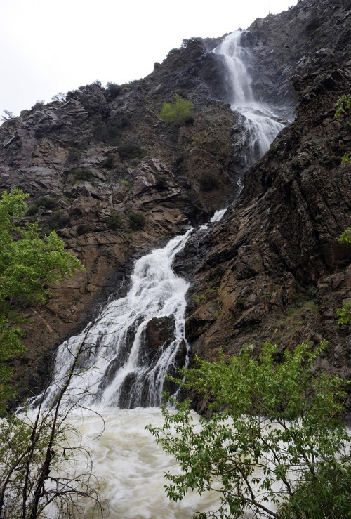
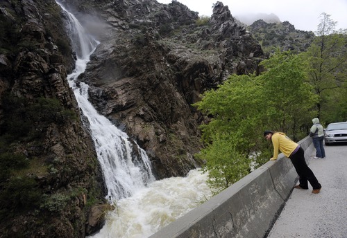
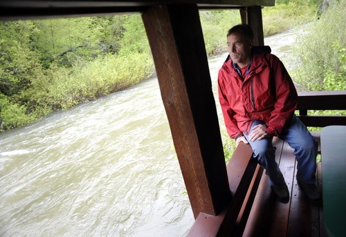
Ogden Canyon • For the past few days, the usually docile Ogden River has been tearing past the dining decks at Keith and Belinda Rounkles' restaurant, The Oaks, a mile below where it disgorges from the 74-year-old dam holding back Pineview Reservoir.
"We haven't seen water like this," said Keith Rounkles, who took over the century-old restaurant 30 years ago and nurtured it into a popular dining destination. "We don't know what could happen. Our surge protection is gone now."
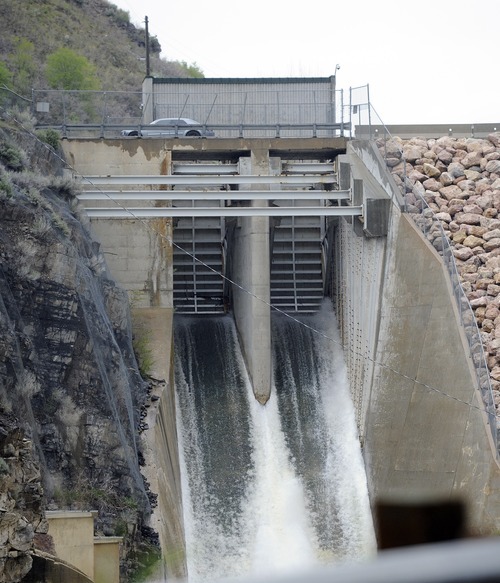
To maintain room for a massive Wasatch snowpack still lingering in the mountains, water managers are releasing 1,600 cubic feet per second (cfs) from Pineview into the narrow Ogden Canyon, water that is now flooding western Weber County farms.
"When you look at space in the reservoir and the amount of snow left in the mountains, they may see water go over the spillway," said National Weather Service hydrologist Brian McInerney. "We will have multiple dams spilling."
But one emergency planner advised against hitting the panic button just yet.
"We don't know the weather patterns. We don't know how the snow will melt," said Lance Peterson, emergency services coordinator for Weber County, who had more immediate troubles.
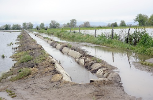
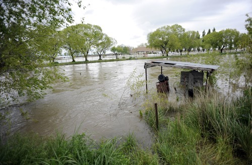
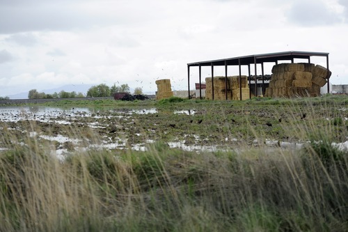
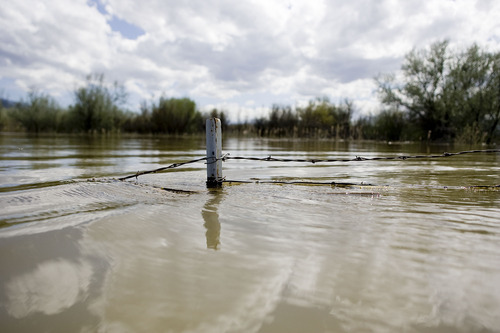
On Saturday, the Weber River overflowed its downstream banks, inundating about 2,000 acres of prime agricultural land around the communities of Taylor and West Warren. Two dairies and an alfalfa field were awash, while a large greenhouse and a home were threatened.
Peterson expected at least another 500 acres to have been flooded Sunday. This damage could be averted by reducing outflow from Weber Basin dams, but that is no longer an option, he said.
"There's no more wiggle room at the reservoirs. They can't slow down releases," he said.
Mike Conger, National Weather Service forecaster, said minor flooding was reported Sunday along the Ogden River between Pineview and Causey reservoirs in Ogden Valley. A Weather Service flood watch report said the Weber River had surpassed flood stage near Plain City, where the town's levee system was in danger of failing.
The Weber also was rapidly approaching flood stage at the Gateway gauge station near Mountain Green. In northeastern Morgan County, Lost Creek was above flood stage from Lost Creek Reservoir to the confluence with the Weber, spilling into low-lying fields and roads and flooding the bridge on Lost Creek Road.
State transportation officials are warning motorists in Weber County to stay away from State Road 39 — Monte Cristo Highway — for the next month because of sporadic flooding.
With rising temperatures, snowmelt could cause flooding from the Uinta Mountains to the mountains of southern and central Utah, Conger said.
Heavy runoff from Chalk Creek in Millard County reduced State Road 100 to one lane near Flowell, about 5 miles west of Fillmore, according to the Utah Department of Transportation.
McInerney suspects the worst is yet to come. The water content of the snowpack above 7,500 feet remains four to five times its normal level for this late in the year. As of Friday, for example, a monitoring station above Park City at 9,200 feet recorded 38.2 inches of water in the snowpack.
"That's 426 percent of normal," McInerney said.
Additionally, much of Sunday's precipitation and that forecast for Monday was falling as snow above 7,500 feet, adding to the snowpack.
"We expect areas of heavy rain into [Monday] morning. It should finally end in the evening," Weather Service meteorologist Cristine Kruse said.
The Ogden River below Pineview is one of three northern Utah rivers the service is keeping tabs on for possible flood-warning designation, Kruse said. The others are Blacksmith Fork and Little Bear rivers, both in Cache County.
Flood warnings were in place Sunday for the entire Weber below Echo Reservoir, the Ogden's south fork below Causey Reservior, Lost Creek and the Sevier.
Warm temperatures are expected to arrive Tuesday with highs in the mid- to upper-70s, which are normal for this time of year.
"When you get that warm, you are going to see an acceleration of melting in the upper snowpack," Kruse said. McInerney predicted melting will deliver big surges to Wasatch Front streams by June 4 or 5 and high water could persist into the third week of June.