


This is an archived article that was published on sltrib.com in 2017, and information in the article may be outdated. It is provided only for personal research purposes and may not be reprinted.
Think of Joshua trees, and your imagination may wander to Southern California, home to the famed Joshua Tree National Park.
But you needn't travel nearly so far to find the tall, Dr. Seussian tree yuccas.
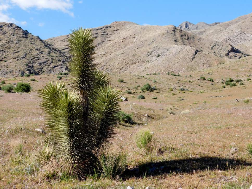
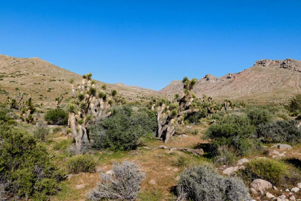
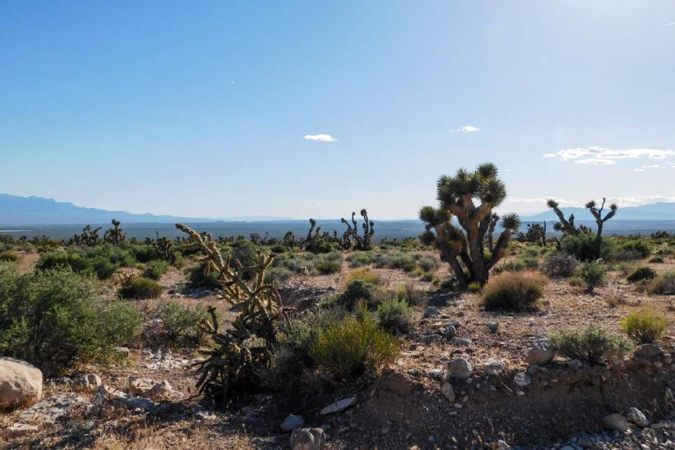
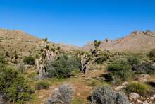
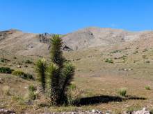
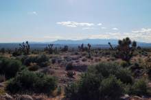
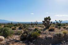
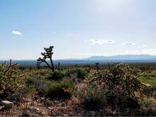
Joshua Tree National Natural Landmark, a little-known botanical gem in southwest Utah, is home to a vast forest of the spiky plants, and associated flora and fauna of the Mojave Desert.
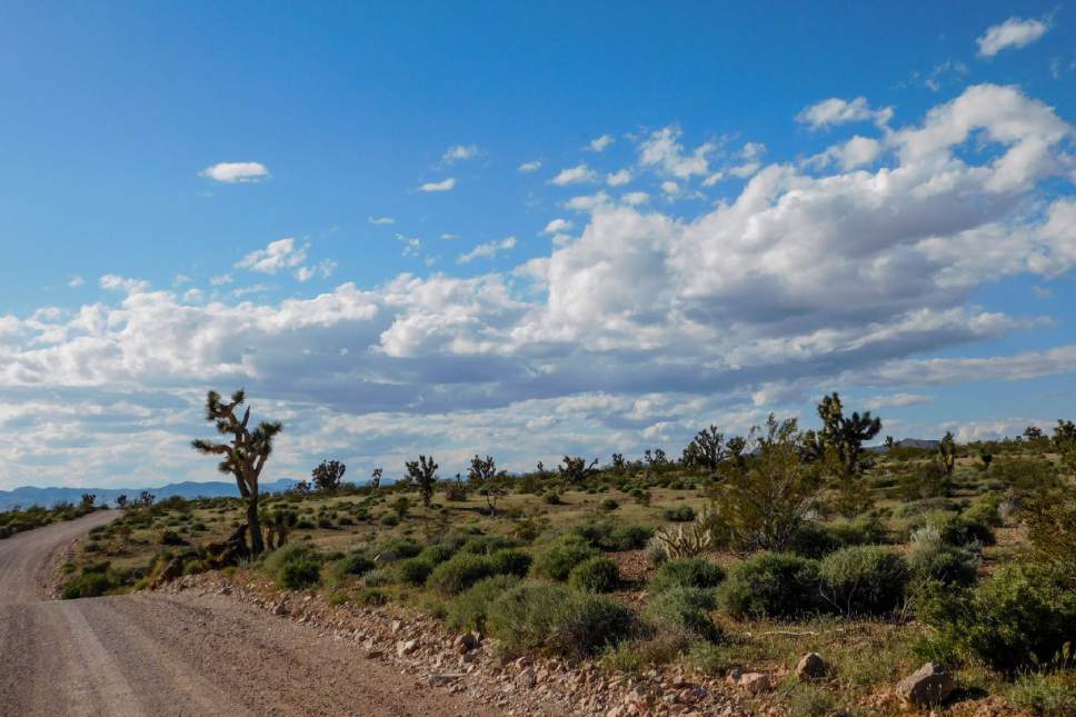
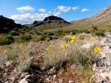
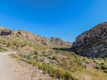
It sits between the Beaver Dam Mountains and Old Highway 91, about 3 miles from the Arizona border. I visited in April, via the Mojave Desert Joshua Tree Scenic Backway — a rugged and remote gravel road that rises and falls through 1,700 feet of elevation change in the desert, rolling between the Great Basin's speckled, scrubby landscape of hardy shrubs and the sandy drifts of the Mojave.
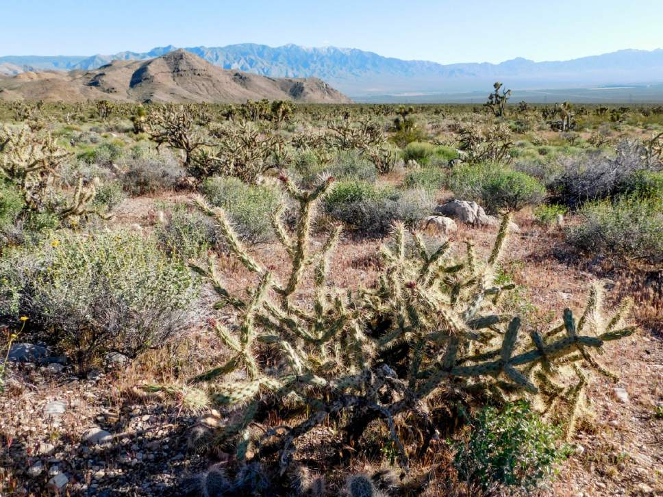
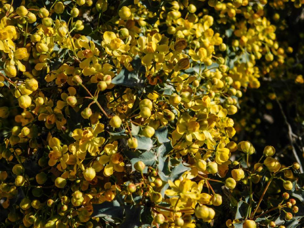
The ecosystems drift into each other between the Beaver Dam Wash — Utah's lowest spot — and the mountain range. There are a lot of types of plants and animals to view. In a short visit, I saw blackbrush, Utah holly, paintbrush, globemallow, desert marigold and various cacti, as well as rabbits and a family of chukar partridges. Desert tortoises are reported to roam the area, but do not touch them, said Christian Venhuizen, spokesman for the Bureau of Land Management. The tortoises are rare and struggling to survive.
The Joshua trees stretched as far as I could see — but their future isn't necessarily secure.
"The introduction of nonnative grasses has allowed unnatural wildfires to occur, which has had a devastating impact on individual Joshua trees and the pollinators they are dependent upon," said John Kellam, wildlife biologist for the Beaver Dam Wash and Red Cliffs National Conservation Area.
Federal crews have focused on fire suppression in the area and are trying to replant thousands of Joshua trees and other native plants in areas that have already burned, Kellam said.
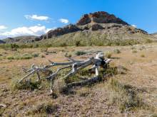
There are no established campgrounds or trails in or around the national landmark. Dispersed camping is available, and there are some rough roads for hiking and ATV travel. Rock climbing is popular in the Utah Hills area north of the landmark and at the Woodbury Road area to the south.
Getting There
Joshua Tree National Natural Landmark doesn't have a clear "You Are Here" marker or sign, but you'll know when you've reached the big Joshua tree stand.
The fastest route is on Old Highway 91. The highway breaks south at Gunlock Drive near the Shivwits Paiute Cemetery about 2.5 miles west of the Shivwits Convenience Store. From there, continue south; you'll see Joshua trees along the road after about 12 or 13 miles. The Mojave Desert Joshua Tree Scenic Backway links with Old Highway 91 about 14.5 miles south of the cemetery; you can take that east, up around the grove.
Alternatively, you can take the scenic backway into the landmark. The road is clearly signed about 2 miles south of the cemetery. It continues a beautiful 19 miles through the mountains and into the Joshua tree grove, where it links up with Old Highway 91.
Twitter: @erinalberty