


This is an archived article that was published on sltrib.com in 2012, and information in the article may be outdated. It is provided only for personal research purposes and may not be reprinted.
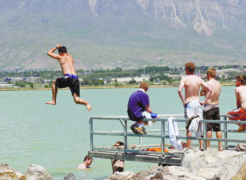
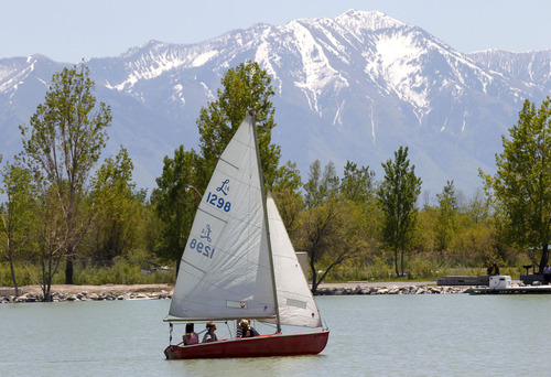
Utah's continuing warming trend means a balmy mid-week for the northern half of the state, but hot and dry conditions have officials on the alert for high desert wildfires in the south.
The National Weather Service issued a "Red Flag" warning for southwestern through southcentral Utah from noon Tuesday through 10 p.m. Tuesday night, but forecasters warned the danger for easily sparked, wind-blown fires in tinder dry scrub oak, grasslands and forests remained high well into the remainder of this week.
The Wasatch Front was forecast to reach high temperatures in the low-80s Wednesday, down some from near-90 readings expected on Tuesday. Wednesday was expected to cool some as a mild storm system moved into the region with scattered rain showers and potential thunderstorms.
Southern Utahns looked for the mercury to climb into the mid-90s Wednesday, down a few degrees from Tuesday's sizzling upper-90s. Winds in the 20-30 mph range were also expected.
Air quality was compromised for Wednesday, according to the Utah Division of Environmental Quality, which issued "Yellow" advisories for Salt Lake, Davis, Weber, Utah, Tooele and Box Elder counties. Only Cache County maintained a "Green" grade for Wednesday.
Salt Lake City, which was forecast to hit 89 degrees Tuesday, expected a cooler 82 on Wednesday; Ogden looked for 81 degrees Wednesday, down from 86 Tuesday; Provo was predicted to hit 83 and 89, respectively; Logan 80 and 84; Wendover 84 and 86; Duchesne 78 and 81; Cedar City 82 and 85; St. George 95 and 98; and Moab 89 and 90 degrees.