


This is an archived article that was published on sltrib.com in 2012, and information in the article may be outdated. It is provided only for personal research purposes and may not be reprinted.
Hot, smoky and dry. No, not a description of a bad barbecue joint after it has run out of sauce — but it is northern Utah's midweek weather forecast.
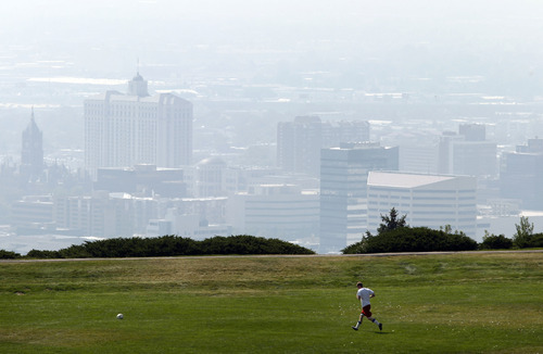
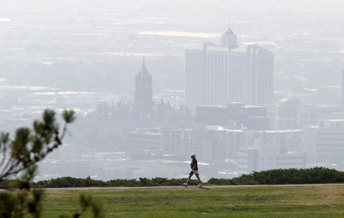
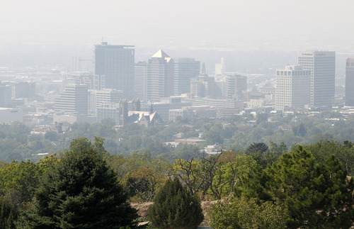
Smoke from fires both in state and from blazes in Idaho and Colorado was capping the Wasatch Front's valleys with a gray, acrid pall Wednesday, a nasty forecast expected to continue on Thursday. The particulate-heavy haze meant "Red," or unhealthy air quality alerts for Salt Lake, Davis, Box Elder, Cache, Weber, Tooele and Utah counties; only Uintah County, with a "Yellow," or compromised air quality grade, and southwestern Utah's Washington County, which was alone with a "Green," or healthy breathability rating, escaped being saddled with the worst air quality status.
Northern Utah's high temperatures Thursday were expected to be in the low-80s, a degree or two cooler than Wednesday's forecast. Southern Utahns expected highs in the mid-90s both days under clear and sunny skies.
Salt Lake City's high on Wednesday was forecast at 84 degrees, with Thursday's high expected to be 84; Ogden looked for 79 and 81 readings, respectively; Provo 85 degrees both days; Logan 82 and 83; Wendover 83 and 822; Duchesne 77 and 78; Cedar City 83 and 84; St. George 95 and 96; and Moab 88 and 87 degrees.