This is an archived article that was published on sltrib.com in 2013, and information in the article may be outdated. It is provided only for personal research purposes and may not be reprinted.
An "upside down" winter storm which brought double-digit snowfall to much of northern Utah was expected to taper off Saturday, but not before blasting the region with colder temperatures and up to 8 inches of new snow, forecasters said.
The storm, which hit early Thursday morning, was the second-biggest of the season National Weather Service meteorologist Mike Conger said.
Conger called it an "upside down" storm, because more snow fell at elevations below 8,000 feet than on most Wasatch Front high mountaintops. For example, just 10 inches of snow fell at Alta, where the peaks top 10,000 feet, but 45 inches fell at Parrish Creek, a 7,700- foot peak in northern Davis County, Conger said.
"It's kind of a strange, upside down storm," he said. "The ski resorts didn't do nearly as well as they would have liked."
Northern Utah resorts generally fared better than others, with Snowbasin adding 19 inches and Powder Mountain, 15. Snowbird got 17 inches of snow, although neighboring Alta had just 10. Solitude Mountain Resort also had 10 inches of new snow and Brighton, 13.
The storm also shattered a 44-year-old record for 24-hour snowfall in Salt Lake City. Some 6.3 inches fell between 12 a.m. Thursday and 12 a.m. Friday, breaking the old record of 4 inches, set in 1968, Conger said. It also pushed Salt Lake City ahead of normal in annual snowfall totals for the winter weather year.
"Since the first of October, we're at 36.7 inches. Normally, we have about 27 inches, so we're about 10 inches ahead of normal," he said.
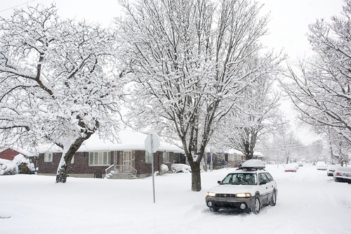
The heavy snowfall closed schools and Hogle Zoo and led to flight delays and some cancellations at Salt Lake City International Airport.
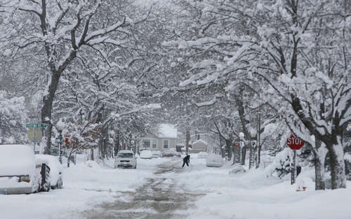
Utah Department of Transportation snowplows were out in force, clearing away a white blanket up to 10 inches deep in the valleys and one to two feet deeper in mountain passes. Big and Little Cottonwood canyons were restricted to 4-wheel drive or chained vehicles, as was eastbound Interstate 80 through Parleys Canyon.
UDOT also temporarily closed State Road 143 above Brian Head to Mammoth Creek and required 4-wheel drive or chains for all vehicles going through Sardine Canyon's U.S. 89/91.
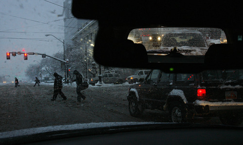
By Friday evening, motorists trying to navigate the wet and slippery roads had caused some 343 accidents along the Wasatch Front, although none involved serious injuries or fatalities, Utah Highway Patrol spokesman Joe Dougherty said.
UHP troopers responded to 200 accidents in Salt Lake County, only seven of which involved injuries, Dougherty said. Utah County had 31 crashes, also with only seven injuries. Davis County had 70 accidents, Weber County had 34 and Box Elder County had eight, he said.
"This is always a great time to remind people that slowing down and putting a little more distance between vehicles will help keep them from meeting up with someone else's bumper," said Dougherty.
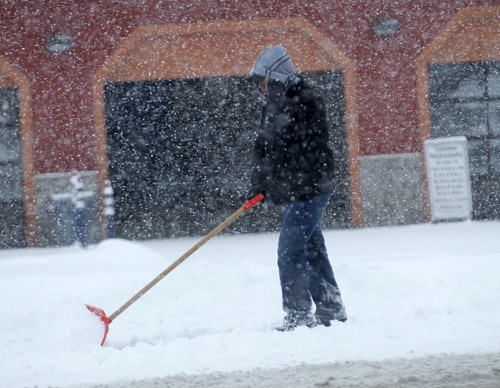
In Salt Lake City, Mayor Ralph Becker urged residents to minimize driving during the storm to allow overworked snow removal crews to keep the capital's primary arterials cleared. He also urged residents to do their best to keep sidewalks shoveled and to offer assistance to neighbors with physical or age-related disabilities in clearing walkways and steps.
The storms also forced the closure Friday of dozens of public and private schools, including the University of Utah, Westminster College and Weber State University.
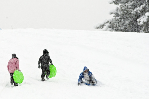
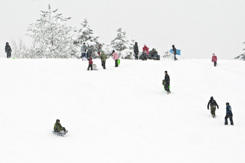
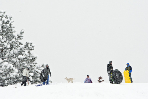
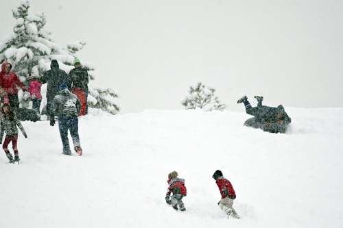
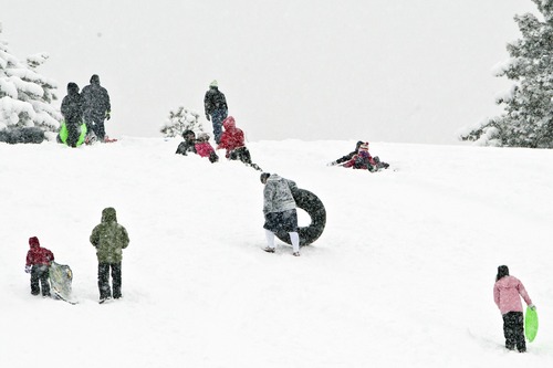
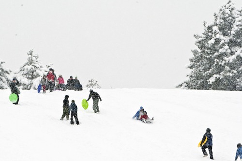
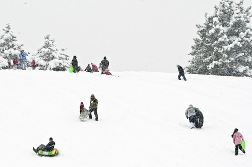
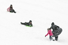
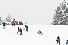
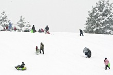
The Davis County School District also canceled classes, giving families an unexpected three-day weekend. Bountiful resident Amanda Chamberlain said her three school-age children were fine with that.
"Nobody shed any tears about it," Chamberlain said.
Her husband, who works for the school district, got a day off as well, so the whole clan essentially got a "family snow day," Chamberlain said.
"We're just kind of hunkering down and watching the snow come down," she said.
Chamberlain has lived in Bountiful since she was 8 years old, and she can only remember one or two times the northern Utah city, which is no stranger to snow, canceled classes after a storm."This is probably the most snow I've seen in a long time," she said. "We don't get snow days very often in Bountiful, so it's kind of a big deal when we do."
Only parts of Utah will remain under a winter storm warning early Saturday, with the affected areas stretching from Logan south through Ogden, Salt Lake City, Provo, Nephi, Escalante and Price to St. George and Bryce Canyon. The advisory was to expire at noon.
The Utah Avalanche Center predicted the risk for dangerous backcountry snow slides was "moderate" on Saturday, the same as its rating statewide for Friday.
Tribune reporter Bob Mims contributed to this story. —
Snow totals
Snow depths, in inches, recorded from the storm Friday:
34 • Bountiful benches
25 • E. Millcreek
22 • Elk Ridge
21 • Clearfield
18 • Centerville, Farmington
16 • Payson
15 • Salt Lake City, Holladay
14 • Farmington, Liberty
13 • Layton, S. Ogden
12 • Cottonwood Heights, Fruit Heights
Source • National Weather Service


