

This is an archived article that was published on sltrib.com in 2013, and information in the article may be outdated. It is provided only for personal research purposes and may not be reprinted.
Whatever transit system ultimately is selected for the canyons of the central Wasatch Mountains, it will be expensive and fraught with challenges.
So a 2012 Mountain Transportation Study supervised by Salt Lake County said it's vital that an environmental impact statement (EIS), now in the early stage of development, subject every potential mode of canyon transportation to great scrutiny.
And while it is particularly important to focus on transportation to and within Little Cottonwood and Big Cottonwood canyons, the study said there is also a need to examine how that small-but-significant geographic area fits into a regional traffic picture that includes Salt Lake City International Airport and Summit County/Park City.
"It will take a little longer than the typical [EIS] project, but this is not a typical project," said Mike Allegra, whose job as Utah Transit Authority general manager puts him into a lead position on the two-tiered approach involving federal, state and local agencies as well as interested observers such as the conservation group Save Our Canyons.
Considerable groundwork for that impending EIS was laid by the Mountain Transportation Study.
It shied away from addressing many aspects of the highly controversial topic of forging direct connections between the Cottonwood canyons and the Summit County side of the Wasatch, largely because the large group of stakeholders involved in its production was divided over the interconnect idea and the desirability of increasing the canyons' traffic-carrying capacity.
But last year's study did take a stab at identifying the costs, advantages and disadvantages of five potential means of moving people up and down the canyons — by car, train, aerial tram or bus (either by simply enhancing the existing system or by developing a "rapid transit" system that functions like light rail on rubber wheels).
And it did offer projections on the cost of building transportation segments connecting Alta with Brighton, and Brighton with Park City.
"No alternatives have been screened out or eliminated," said the study overseen by the county engineering division with support from a steering committee that included the Utah Department of Transportation, Forest Service, Salt Lake City water department, Wasatch Front Regional Council, Federal Transit Administration and UTA.
"However, the transportation concepts presented here represent proven technologies with successful examples around the world," it added. "There are pros and cons for each mode that have to be weighed against costs and impacts. This study provides a framework for alternative concepts that can be developed in more detail during a future [EIS] process."
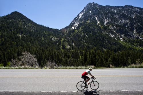
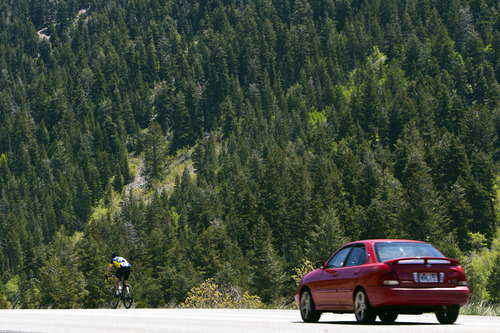
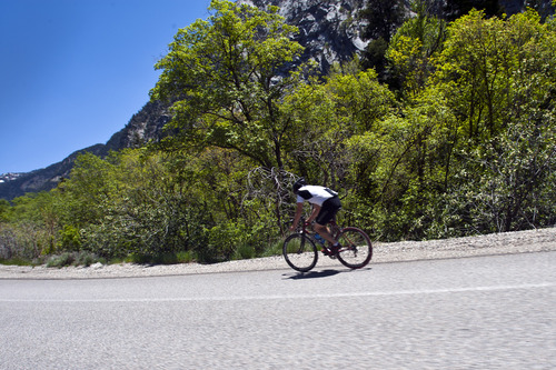
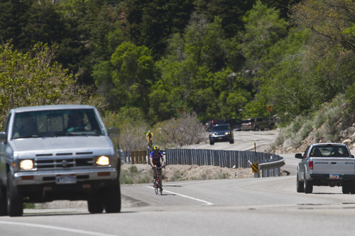
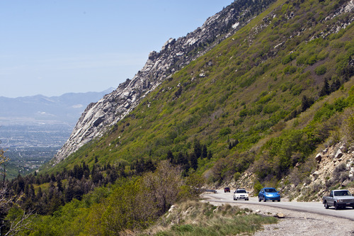
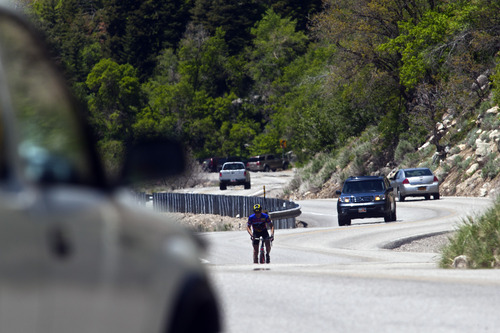
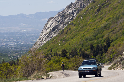
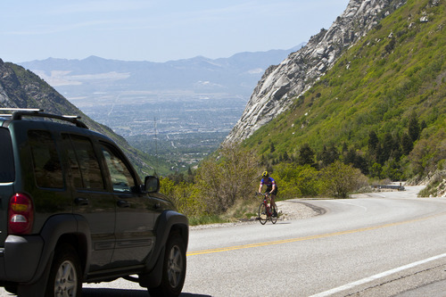
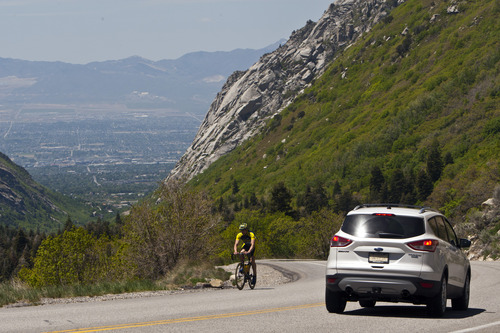
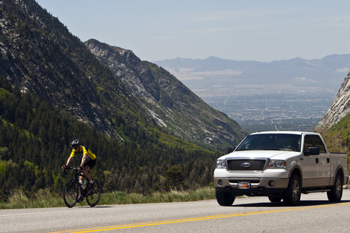
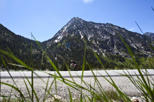
The study looked at those alternative concepts as they would function in Little Cottonwood Canyon, where the need is greatest because of higher traffic volumes and the increased threat posed by numerous avalanche-slide paths.
Initial analysis showed:
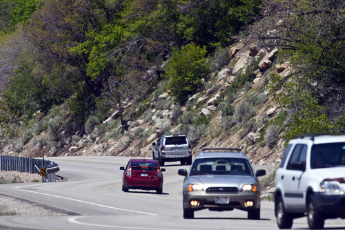
• Roadway improvements, such as the construction of a half-dozen snow-shed tunnels in the worst slide locations could move more people more quickly up and down the canyon at a cost of $30 million to $40 million. But this approach wouldn't change canyon parking problems, would do nothing to reduce air pollution and wouldn't help avoid road closures from slides in areas without snow sheds.
• Improving the existing bus system by assigning more buses to canyon duty and reducing the number of stops these buses make would be the cheapest solution — $10 million to $20 million. But this system would serve only 60 to 200 people per hour (compared to 4,800 in cars) and it would be slow, requiring 36 to 63 minutes to reach Alta from the canyon mouth.
• Bus rapid transit, a streamlined bus with its own lane, could triple the capacity of the improved bus system while cutting travel time to less than a half hour. It would cost $110 million to $150 million but could encounter right-of-way problems if extra land was needed to widen the narrow highway by a lane.
• Light rail could move up to 2,400 people up or down the canyon in an hour, covering the length of Little Cottonwood in about the same time as a car. But the cost of building the system, including snow sheds, was estimated at $510 million to $680 million.
• Aerial trams had more capacity than light rail, capable of transporting 1,800 to 3,000 people per hour, but the trip up or down the canyon was longer (43 to 54 minutes) and the potential cost was the second highest overall, at $220 million to $280 million.
• Establishing a connection between Alta and Brighton would cost $60 million to $80 million using aerial trams, $390 million to $510 million for rail lines using parts of old mining tunnels between the Cottonwood canyons.
• Connecting Brighton to Park City would be even more expensive, projected at $140 million to $170 million for an aerial hookup and $730 million to $960 million for rail.
The study also recommended the EIS look at the impacts of each transportation alternative on land use, watershed and other natural resources, recreational demands and local and state economies.
Because watershed protection was so important to Mountain Transportation Study stakeholders, the report said the EIS should vigorously review the direct, indirect and cumulative impacts of various options on drinking water supplies for half a million Salt Lake Valley residents. That part of the EIS also should look at overcrowding on recreational experiences and watershed effects from people parking along the dirt shoulders of roadways.
In terms of land use, the study recommended an evaluation of the types, quantity and location of developments that could be absorbed without damaging canyon health and an identification of ecologically valuable lands that should be preserved.
The most contentious analysis will focus on the economics of forging direct connections between the airport, Park City and the upper ends of both Cottonwood canyons. This analysis, the Mountain Transportation Study said, should include a cost/benefit comparison and an investigation of creating "beneficial assessment districts" that could provide a steady source of funding for the project.
mikeg@sltrib.comTwitter: @sltribmikeg Proposed action
"To prepare a Tier 1 Environmental Impact Statement (EIS) for the Mountain Transportation project, [which] will facilitate safe, convenient, attractive and reliable year-round transit access to and within the Cottonwood Canyons. The project may include fixed-guideway improvements (such as bus rapid transit, rail or aerial tram) to connect the regional UTA transit system in the Salt Lake Valley to the recreation activities in the Cottonwood Canyons, and potentially to the recreation activities in the Park City and Summit County areas. The project will be ecologically, socially and economically sustainable, i.e. it will meet present needs without compromising the ability of future generations to meet their needs and it will improve, or at a minimum, not degrade the Cottonwood Canyons' natural environment and municipal watersheds."
Source: Mountain Transportation Study —
Editor's note
This is the last of three stories looking at a trio of studies, completed last fall under the auspices of Salt Lake County, that laid a foundation for an environmental impact statement (EIS) expected to provide a comprehensive examination of transportation issues in the central Wasatch Mountains. Previous stories dealt with parking issues in Little Cottonwood and Big Cottonwood canyons and alternative transportation forms in Mill Creek Canyon. —
By the numbers
7,000 • Average number of wintertime vehicles daily in Little Cottonwood Canyon, peaking at almost 8,000 in February.
15 • Number of years that traffic volume has been relatively constant in Little Cottonwood.
33 • Average number of avalanches that reach Little Cottonwood Road each winter.
$780,000 • Average cost to keep the road open in winter from 2003-05.
5,168 • Parking spaces at Alta and Snowbird combined. Valley park 'n' ride lots have 1,179.
90 • Minutes required to ride the bus from downtown Salt Lake City to Alta.
6,540 • Number of feet of guardrail that are deficient on the canyon roadway, along with 3 miles of shoulder.