


This is an archived article that was published on sltrib.com in 2014, and information in the article may be outdated. It is provided only for personal research purposes and may not be reprinted.
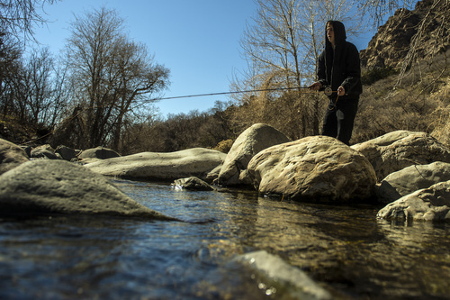
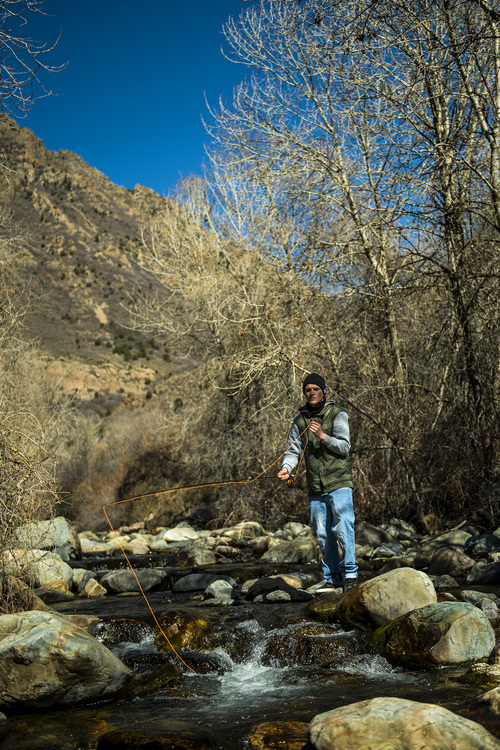
Thursday is the first day of spring, and Utah's forecast should live up to expectations for warmer and sunnier weather.
The National Weather Service predicted high temperatures will rise into the low-60s along the Wasatch Front in the hours before the official arrival of the vernal equinox at 10:57 a.m. MDT Thursday.
Under partly cloudy skies, that was to be 5-7 degrees warmer than Wednesday, technically the last day of winter.
Southern Utahns looked for mostly clear, sunny skies and highs in the mid-70s on Thursday, up roughly 10 degrees from Wednesday's forecast.
The Utah Avalanche Center began Wednesday by rating all of the state's mountains at "moderate" risk for potentially deadly snowslides.
The Utah Division of Air Quality rated breathability in the "green," or healthy air quality zone heading toward the end of the week.
For more extensive forecast information, visit the Tribune's weather page at: http://www.sltrib.com/weather.
Twitter: @remims