This is an archived article that was published on sltrib.com in 2015, and information in the article may be outdated. It is provided only for personal research purposes and may not be reprinted.
Here's a tidbit that will warm the hearts of Utah weather geeks (it certainly warmed plenty of others):
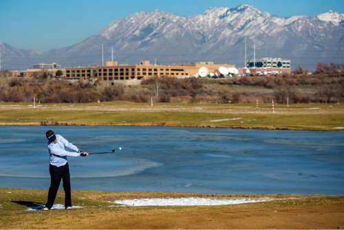
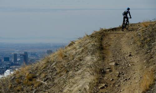
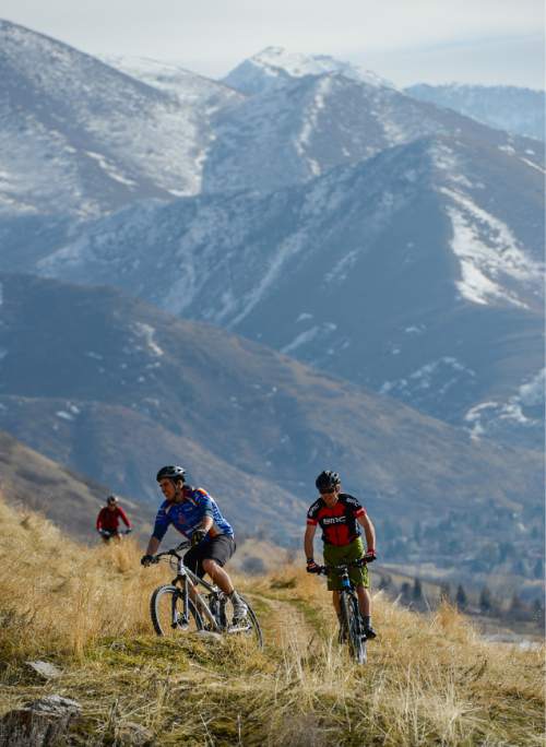
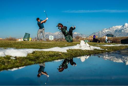
Salt Lake City just wrapped up its balmiest and least snowy meteorological winter on record.
This winter — defined by weather pros as December through February — broke the mark for the city's warmest ever since such tracking began 1874. It also packed the least amount of snowfall since those records began in 1885, according to the National Weather Service.
High pressure in the mid-atmosphere kept temperatures well above normal, and most storms far north or east of Utah.
"We knew that it was going to be very close to the warmest winter back in mid to late January," said Christine Kruse, a meteorologist at the National Weather Service in Salt Lake City. Then, when thermometers hit 68 degrees several times in February, "it was a foregone conclusion."
Kruse clarified, however, that this was not Salt Lake City's driest winter, since the precipitation that would have normally fallen as snow instead dropped as rain. In light of that, this past winter was Salt Lake City's 24th driest.
The warm weather has had state wildlife biologists concerned. The temperate days were drawing animals out of their dens too early, launching springtime mating rituals or driving them out of the state altogether. The phenomenon stretches across the state — from bird nesting grounds at the Bear River Migratory Bird Refuge in the north to sage grouse mating grounds in the south.
Wildfire officials have been worried about the warm winter and scant precipitation as well.
"Things are much more dry and, frankly, more ready to burn … than in [recent] memory," Jason Curry, spokesman for the Utah Division of Forestry, Fire and State Lands, said in February. Wildfire season doesn't technically start until June 1, though small, isolated flare-ups before then are normal. But if vegetation stays dry, even those normally small, isolated blazes could spark more frequently and turn into more serious fires, making for a long and taxing wildfire season.
Northern Utahns could breathe easier, however, because the warmer, less snowy winter at least made for weaker inversions.
"We still did have periods of inversions, but they were easily mixed out and we got warm," Kruse said. "When you have that layer of snow [in the valleys], it stays colder much longer, because the air gets trapped."
A shift toward wetter weather may be in the works.
A storm that left more than a foot of snow in Cedar City, and several inches in other spots around the state, moved across Utah through the weekend. Another wintry blast is close behind it and was expected to arrive Sunday night and last into Tuesday.
Temperatures are expected to drop Monday, with a high of 42 expected in Salt Lake City. St. George, meanwhile, is forecast to see a high of 48.
Looking ahead, the Climate Prediction Center expects an above-average chance for precipitation for Utah in the next three months as the high pressure breaks down and moves elsewhere.
But Kruse cautioned that the prediction is just an outlook, which can change.
Twitter: @mikeypanda


