


This is an archived article that was published on sltrib.com in 2015, and information in the article may be outdated. It is provided only for personal research purposes and may not be reprinted.
Northern Utahns don't call it the Dreaded Lake Effect for nothing.
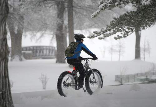
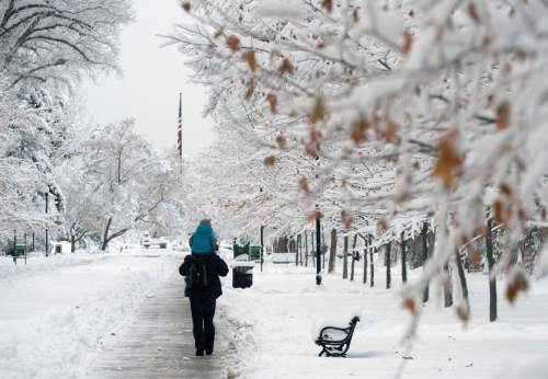
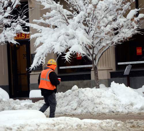
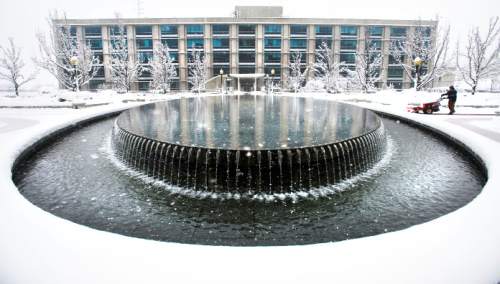
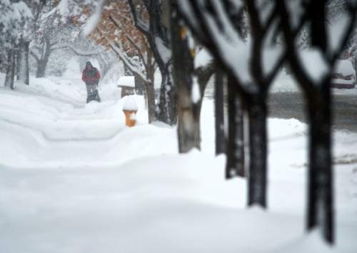
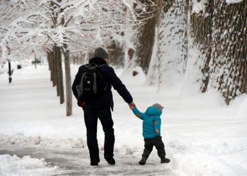
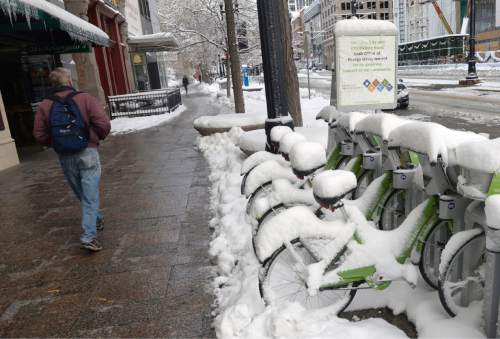
In the wake of a robust Pacific winter storm Monday that dumped a record-breaking 1-2 feet of snow along the Wasatch Front, the combination of the lingering cold front and the comparative latent heat of the Great Salt Lake combined to generate even more of the white stuff overnight.
By late Tuesday morning, more than 28 inches of snow had fallen on the Bountiful benches and 22 inches in Cottonwood Heights since the storm arrived. The National Weather Service also reported snowfall totals of 21 inches in Centerville, 17 in upper Millcreek and Olympus Cove, 15 inches in Tooele, and 13 and 11 inches in Ogden, Sandy and Salt Lake City.
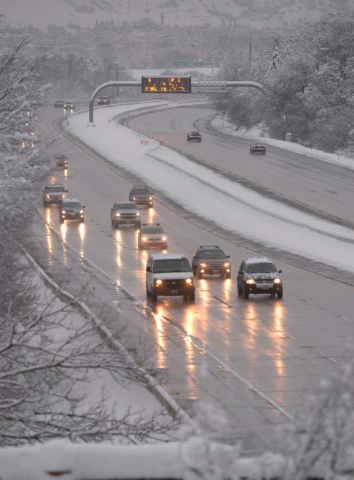
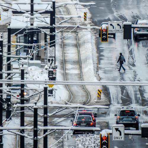
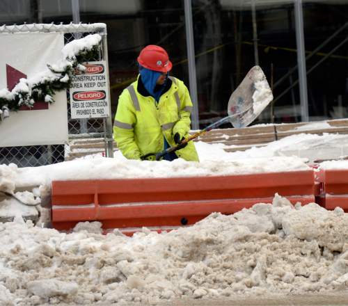
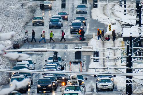
The fresh snow, packed onto already icy road surfaces, once again kept Utah Highway Patrol troopers and their county and city public safety counterparts busy responding to weather-related crashes or slideoffs as the Tuesday morning commute got underway.
Still, it seemed drivers were exercising more care. As dawn broke, UHP troopers had been called to just 18 accident scenes, none involving serious injury — a far cry from the more than 200 accidents and slideoffs reported on the interstates Monday.
Salt Lake Valley police agencies had about a dozen crashes, roughly a tenth of the volume dispatchers recorded through Monday's icy vehicular mayhem.
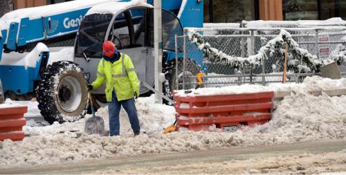
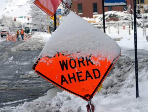
Snow plows were out early, scraping and salting the region's interstates, highways and urban surface streets as the Utah Department of Transportation warned that driving conditions throughout the state would remain hazardous into the evening hours.
UDOT officials were especially concerned with the Interstate 15 corridor from the Idaho border through Cedar City in southern Utah, as well as I-70, I-80 and I-84.
Salt Lake County's Big and Little Cottonwood canyons began the day restricted to vehicles with chains or four-wheel drive, but those restrictions were lifted at about 11:30 a.m.
Meanwhile, Iron County's State Road 14 was off limits to semi-trailer rigs between Cedar City and the Long Valley Junction at U.S. 89, and a 13-mile stretch of SR-143 was closed.
As subfreezing daytime temperatures once more prevailed and forecasters predicted there would be more snowfall for the region on Wednesday, a Winter Weather Advisory remained in place for most of the state into late Tuesday evening. From Logan south through Ogden, Salt Lake City, Provo, Nephi, Green River and Moab, and west to the Nevada border, up to 4 inches of new snow were predicted for the area.
A Winter Storm Warning was called for the Wasatch Mountains south of I-80, as well as west-central Utah's high desert. Up to 10 inches of snow was predicted, with the warning also expiring late Tuesday night.
Combine Monday's storm with Tuesday's encore and the danger for potentially deadly mountain snowslides was sure to increase. The Utah Avalanche Center rated the risk at "high" for the mountains above Ogden, Salt Lake, Provo and in central Utah's Skyline district, while the peaks near Logan, in the Uintas, above Moab and in the Abajo mountains earned "considerable" danger grades.
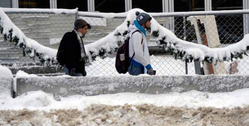
Arrivals and departures at Salt Lake International Airport were on time, with snow removal and aircraft de-icing crews staying apace of the weather; no new outages were reported by Rocky Mountain Power; and while the region's school districts warned that buses could be delayed by road conditions and some schools were starting an hour or two later, no public school closures were reported on Tuesday.
However, several Salt Lake Valley private schools — among them Rowland Hall, the American International School of Utah, Lakeview Academy and the Guadalupe Charter School — did close down on Tuesday due to weather.
The Utah Division of Air Quality gave "yellow," or compromised air quality grades to Duchesne and Uintah counties, but the rest of the state was "green," or healthy, through the midweek.
For more extensive forecast information, visit the Tribune's weather page at http://www.sltrib.com/weather.
Twitter: @remims