


This is an archived article that was published on sltrib.com in 2016, and information in the article may be outdated. It is provided only for personal research purposes and may not be reprinted.
Directions • Take Interstate 80 east past Evanston, Wyo. Then take exit 39 to WY-414 South. Turn right onto WY-410 E, and then turn left onto Country Road 283. Continue on the dirt road until you have crossed the state line back into Utah. Look for a sign to Bridger Lake and turn left onto FR126. Follow the road until you reach Bridger Lake Campground.
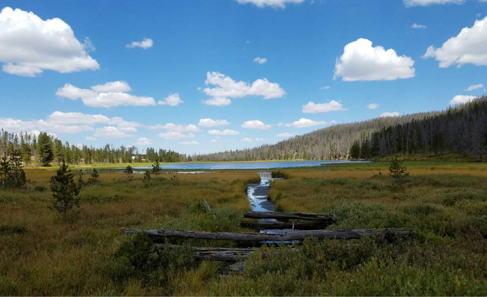
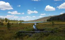
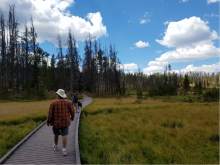
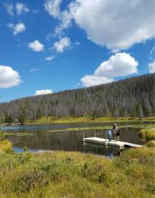
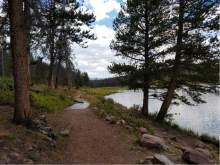
Hike • This short hike loops around Bridger Lake and can be accessed from many points, either from several of the campsites near the waterfront, or from the small boat ramp. On our visit, we cut through an empty campsite near the bathrooms and started the leisurely stroll around the lake. There's no right or wrong way to go on this loop, but we started by heading north and were almost immediately met with a bridge walkway that cuts through the marshy water that is dotted by lily pads. The trail then turns to dirt and meanders through the trees and around the small lake. There are several small docks along the way that will get hikers (or those hoping to catch some fish) closer to the water. It's a short hike, but it is a beautiful and peaceful stroll that is easy for children and beginning hikers.
Digital map available at: http://www.mapmyrun.com/workout/1716503753
— Jessica Miller
Destination: Bridger Lake
Hiking time • 45 minutes
Round-trip miles • 0.9 miles
Elevation gain • 0 feet
Difficulty • Easy
Trail head restrooms • Yes
Dogs allowed • Yes
Bikes allowed • Yes
Fees • $7 day use fee