


This is an archived article that was published on sltrib.com in 2012, and information in the article may be outdated. It is provided only for personal research purposes and may not be reprinted.
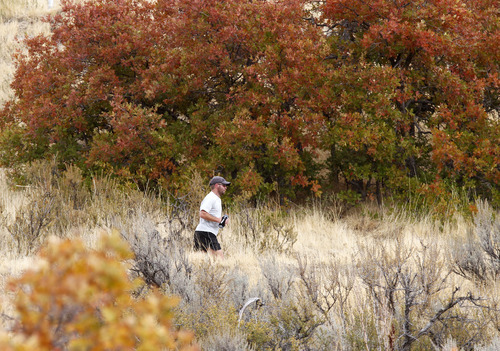
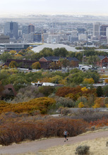
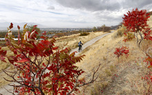
The forecast is for wind, rain and chilly nights. But don't lament, Utah; as Albert Camus wrote, "Autumn is a second spring when every leaf is a flower."
It's all about perspective. The National Weather Service forecast began Monday with a wind advisory for the Wasatch Front through late evening with winds of 25-35 mph. High temperatures Tuesday under periodically rainy skies — with snow above 9000 feet elevation — were expected to be in the low-50s, down 10-15 degrees from Monday's forecast, with overnight lows in the 30s and low-40s.
A wind advisory also was in effect for southern Utah with winds of 20-30 mph with highs in the low-70s, down five degrees or so from Monday, and overnight lows in the upper-40s.
In west-central Utah, a high wind warning was in effect through Monday night with wind speeds of 30-40 mph and gusts exceeding 60 mph expected.
Air quality, with all that atmospheric stirring, was "Green," or healthy statewide, the Utah Division of Air Quality reported.
Salt Lake City's high Tuesday was pegged at 52, down from Monday's forecast for 69 degrees; Ogden looked for 50 and 64 degrees, respectively; Ogden 50 and 64; Provo 55 and 72; Logan 49 and 61; Wendover 48 and 62; Duchesne 60 and 66; Cedar City 62 and 66; St. George 73 and 77; and Moab 72 and 73 degrees.