

This is an archived article that was published on sltrib.com in 2013, and information in the article may be outdated. It is provided only for personal research purposes and may not be reprinted.
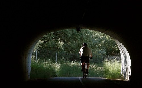
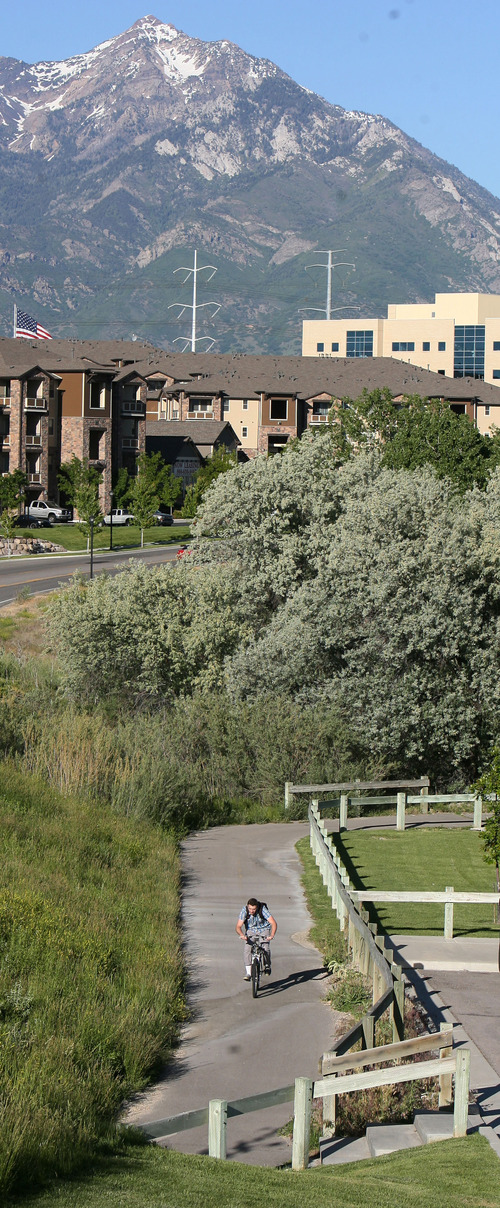
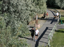
Enjoying the Jordan River Parkway just got easier with a newly released map of trails that run from the Utah County border in the south to the Great Salt Lake.
The free map is available online and at several recreation centers through Salt Lake County.
"This map is the first of its kind," said Martin Jensen with Salt Lake County Parks & Recreation. "It's literally a road map, and it's made so that you can fold it up and tuck it into your back pocket."
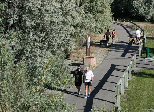
The map has directions to the nearly continuous paved trail, as well as equestrian paths, trailheads, parks, urban fisheries and natural areas. It also shows locations of equestrian parking, neighborhood accesses, restrooms, water fountains, bike routes, public transit, dog parks and wildlife viewing areas.
There's an educational component identifying native plans and animals that can bee seen along the trail and the river. For instance, the map features the Bullock's oriole, a songbird whose hanging socklike nest can be seen in riverside trees during the winter after the leaves have fallen.
The map also tells people how to get around the remaining 3.5 miles of gaps in the trail. For now, about 41.5 miles of the trail are complete, with breaks at Bluffdale, West Jordan and Salt Lake City.
The National Park Service designed the map in conjunction with the Jordan River Commission and Salt Lake County.
"This is a great opportunity for people to enjoy our community in a healthy way, to get out of doors and to recreate with their families," said Salt Lake County Mayor Ben McAdams. "It's an easy map showing how to get on and off the trail and to connect to public transit and other urban parks."
Eventually, the corridor will link up with the Legacy and Denver Rio Grande Western trail system, resulting in 76 miles of trails along the Wasatch Front.
The interpretive trail map is available at:
Dimple Dell Recreation Center • 10670 S. 1000 East
Sorensen Recreation Center • 5350 W. Herriman Main St.
Magna Recreation Center • 3270 S. 8400 West
Northwest Recreation Center • 1300 W. 300 North
Millcreek Community Center • 2266 E. Evergreen Ave. (3425 South), Suite 130
Salt Lake County Parks Operations Office • 3383 S. 300 East
Salt Lake County Parks & Recreation Offices • 2001 S. State St., Room S4800
Online • http://www.recreation.slco.org
Trail etiquette
Help make the Jordan River Parkway safe:
Be predictable • Travel or walk in a consistent manner.
Keep right • Stay as near to the right side of the trail as is safe.
Pass on the left • Pass others going your direction on the left.
Yield • Allow slower and oncoming traffic to move ahead of you.
Clean up • Pick up litter; if you drop something, remove it immediately.
Be courteous • Bicyclists, joggers, walkers, wheelchairs, skateboarders, bladers and skaters should be respectful of others, regardless of mode, speed or level of skill. —
Trail system
Development and maintenance divided among these municipalities:
Salt Lake City • Davis County border to 2100 South
Salt Lake County • 2100 South to 4800 South, Jordan River Trailhead, Redwood Nature Area, Oxbow, Holm, 48th Street
Murray • 4800 South to 6200 South
West Jordan • 6600 South to 7800 South
Midvale • 7800 South to 8600 South
Salt Lake County • 9800 South to 10600 South
South Jordan • 10600 South to 11400 South, trailhead parks and amenities
Salt Lake County • 11400 South to Utah County border, Spring View Farms and Jordan Narrows