


This is an archived article that was published on sltrib.com in 2013, and information in the article may be outdated. It is provided only for personal research purposes and may not be reprinted.
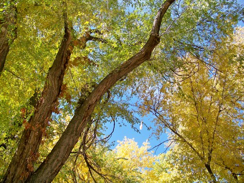
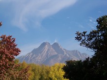
Utah's weekend will be the picture of autumn grandeur, with warm days and skies mostly bereft of cloud cover, before storm clouds and possible rain put a damper on the state next week.
Highs in the mid- to upper 60s and overnight lows near 40 degrees were forecast for the Wasatch Front for Saturday. Partly cloudy skies will reign early in the day before giving way to afternoon sunshine.
Under mostly sunny and clear skies, southern Utahns expected highs in the upper 70s and lows in the low 40s on Saturday.
By Monday, however, highs should drop into the 50s along the Wasatch Front, according to the National Weather Service. Along with the cooler temperatures, forecasters expect cloudy skies and a 30 percent chance of rain.
In southern Utah, highs will hover in the 70s and skies should be partly cloud. The NWS expects a 30 percent chance of rain in Utah's Dixie as well.
For more weather information, broken down county by county, visit The Tribune's weather page (sltrib.com/weather).