


This is an archived article that was published on sltrib.com in 2014, and information in the article may be outdated. It is provided only for personal research purposes and may not be reprinted.
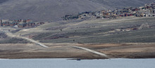
Utah's water supply outlook going into spring is a question of brightness.
Things look brighter in northern Utah and much darker in the southern part of the state.
That was the word Friday from Randy Julander, of the National Resources Conservation Service's Utah office, which issued an outlook report this week.
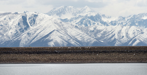
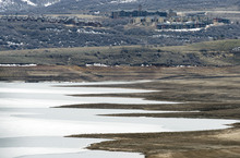
The report said that snowpacks measured on April 1 range from 46 percent of the median in the Virgin River watershed to 120 percent of normal in the Bear River watershed. The north is at average or above but declines the farther south you look.
"Southern Utah has slammed shut," said Julander. "If they happen to get a couple of big storms right now with so much bare ground and with it so warm, it will be more like a delayed rainstorm than snowmelt or runoff. That goose is already cooked."
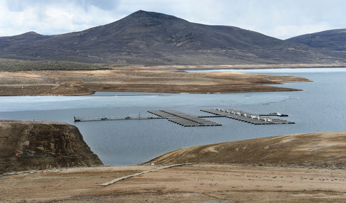
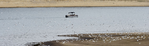
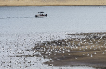
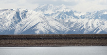
Yet there's a smattering of good news for whitewater rafters and recreational boaters who enjoy Flaming Gorge Reservoir, the Green and Colorado rivers and Lake Powell.
Julander said the snowpack in Colorado and Wyoming that feeds the Colorado and Green rivers and helps fill the Gorge and Lake Powell is at higher averages than the rest of northern Utah.
"The Green is going to run high, wide and handsome," he said. "Snowpack is 120 to 150 percent of average. Powell is going to come up a little this year."
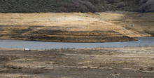
Julander said he expects most northern Utah reservoirs to fill this spring.
"It's a balancing act of how long they can keep them full," he said. "If it is cool and wet, they can keep the storage higher for longer, with more carryover for next year. If it's hot and dry and there is increased demand, the reservoirs don't stay full nearly as long. The reservoirs are in pretty good shape, considering where we had been the last few years."
That's good news for not only farmers but also for recreational boaters and the dealers who sell and service watercraft.
Ty Hunter, boating coordinator for the Utah Division of Parks and Recreation, said park managers are taking a wait-and-see attitude but are cautiously optimistic, especially in northern Utah.
"I learned as a park manager on the ground with the water conservancy district at Utah Lake that reports and forecasts are educated guesses as to where things are at," Hunter said. "We are going to see what is going to happen and we're not worrying about the sky falling. We will address from there how to get boaters on the waters of the state. … We are going to sit back and see what Mother Nature gives us, and make decisions about what we can and can't do."
Julander said there is still good snowpack in northern Utah and recent storms add incrementally to the snowpack.
"I would love to see it go higher, but beggars can't be choosey," he said. "To see the Bear make that turnover and the Weber and Provo come back is pretty good from where we were."
Among the findings of the latest report:
• Much of the snowpacks in central Utah are in the 75 to 90 percent range.
• Mountain precipitation during March was 86 percent of average, which brings the seasonal accumulation from October through March to 84 percent of normal. Precipitation ranged from 122 percent on the Bear to 34 percent on the Virgin.
• Soil moisture is rising rapidly because of melting snowpacks. Last month, it was very dry in southeast Utah and near average in the remainder of the state.
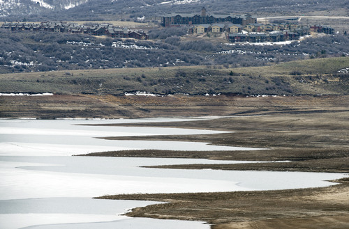
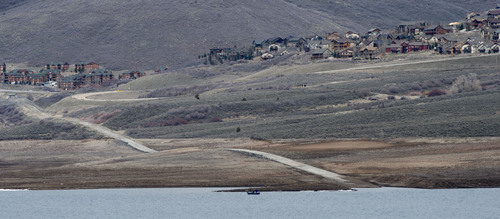
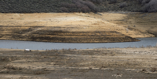
• Storage in 46 of Utah's key irrigation reservoirs is at 48 percent of capacity, compared with 56 percent last year.
• Snowmelt stream flows are expected to be below to greatly below average for the central and southern portions of the state, and near average for the northern portion of Utah. Forecast streamflows range from 14 percent on the Virgin River near Hurricane to 119 percent on Smith's Fork near the border. Most flows are forecast to be in the 55 to 95 percent range.
• Surface water supply indexes range from eight percent for the East Uintah Basin and San Pitch to 87 percent for Smith's Fork.
Twitter @tribtomwharton